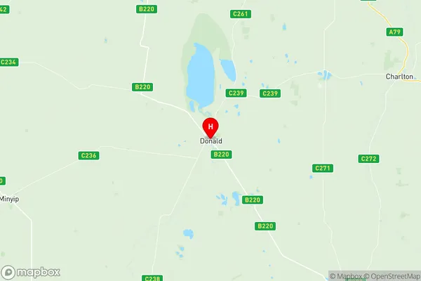
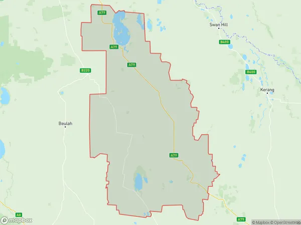
Buloke Suburbs & Region, Buloke Map & Postcodes
Buloke Suburbs & Region, Buloke Map & Postcodes in Buloke, Murray River Swan Hill, North West, VIC, AU
Buloke Region
Region Name
Buloke (VIC, AU)Buloke Area
8069 square kilometers (8,069 ㎢)Postal Codes
3395, 3477, 3478, 3480, 3482, 3483, 3485, 3488, 3518, 3525, 3527, from 3529 to 3531, 3533, 3542, and 3544 (In total, there are 17 postcodes in Buloke.)Buloke Introduction
Buloke is a locality in the local government area of the Shire of Buloke, Victoria, Australia. It is located 202 kilometers north-west of Melbourne's central business district. The post office opened as Numurkah on 1 November 1889 and was closed on 1 March 1927. The name Buloke was given to the railway station on 1 October 1928. The Buloke River, which flows through the township, was named after the indigenous Buloke people. The township is primarily a farming area, with wheat and sheep being the main crops. There are also a number of wineries in the area. The nearest major town is Numurkah, which is 10 kilometers away. Buloke has a population of around 2,000 people. The town has a primary school, a post office, a general store, a hotel, and a cricket club. There are also a number of parks and recreational facilities in the area, including the Buloke River Reserve and the Numurkah Golf Club.Australia State
City or Big Region
Greater Capital City
Rest of Vic. (2RVIC)District or Regional Area
Suburb Name
Buloke Region Map

Buloke Postcodes / Zip Codes
Buloke Suburbs
Buloke full address
Buloke, Murray River Swan Hill, North West, Victoria, VIC, Australia, SaCode: 215031400Country
Buloke, Murray River Swan Hill, North West, Victoria, VIC, Australia, SaCode: 215031400
Buloke Suburbs & Region, Buloke Map & Postcodes has 0 areas or regions above, and there are 92 Buloke suburbs below. The sa2code for the Buloke region is 215031400. Its latitude and longitude coordinates are -36.3694,142.982. Buloke area belongs to Australia's greater capital city Rest of Vic..
Buloke Suburbs & Localities
1. Cope Cope
2. Corack
3. Donald
4. Lake Buloke
5. Lawler
6. Curyo
7. Marlbed
8. Turriff East
9. Dooboobetic
10. Corack East
11. Massey
12. Warmur
13. Jil Jil
14. Whirily
15. Watchupga
16. Reedy Dam
17. Coonooer Bridge
18. Coonooer Bridge
19. Yawong Hills
20. Banyenong
21. Gil Gil
22. Jeffcott North
23. Laen
24. Laen East
25. Rich Avon
26. Morton Plains
27. Watchem
28. Ballapur
29. Birchip
30. Birchip West
31. Kinnabulla
32. Narraport
33. Banyan
34. Carron
35. Jeffcott
36. Laen North
37. Litchfield
38. Watchem West
39. Karyrie
40. Reedy Dam
41. Willangie
42. Nareewillock
43. Teddywaddy
44. Teddywaddy West
45. Glenloth
46. Glenloth East
47. Teddywaddy West
48. Wycheproof South
49. Nullawil
50. Warne
51. Berriwillock
52. Bimbourie
53. Nandaly
54. Sea Lake
55. Straten
56. Cokum
57. Titybong
58. Springfield
59. Woosang
60. Barrakee
61. Granite Flat
62. Bunguluke
63. Dumosa
64. Thalia
65. Towaninny South
66. Wycheproof
67. Kalpienung
68. Springfield
69. Lake Tyrrell
70. Nyarrin
71. Pier Milan
72. Tyrrell Downs
73. Nine Mile
74. Charlton
75. Jeffcott
76. Jeffcott North
77. Teddywaddy
78. Sutton
79. Boigbeat
80. Ninda
81. Tyenna
82. Tyrrell
83. Tittybong
84. Chirrip
85. Wooroonook
86. Yeungroon
87. Yeungroon East
88. Jeruk
89. Towaninny
90. Culgoa
91. Wangie
92. Myall
