Coonooer Bridge Area, Coonooer Bridge Postcode(3477) & Map in Coonooer Bridge, North West, VIC
Coonooer Bridge Area, Coonooer Bridge Postcode(3477) & Map in Coonooer Bridge, North West, VIC, AU, Postcode: 3477
Coonooer Bridge, Buloke, Murray River - Swan Hill, North West, Victoria, Australia, 3477
Coonooer Bridge Postcode
Area Name
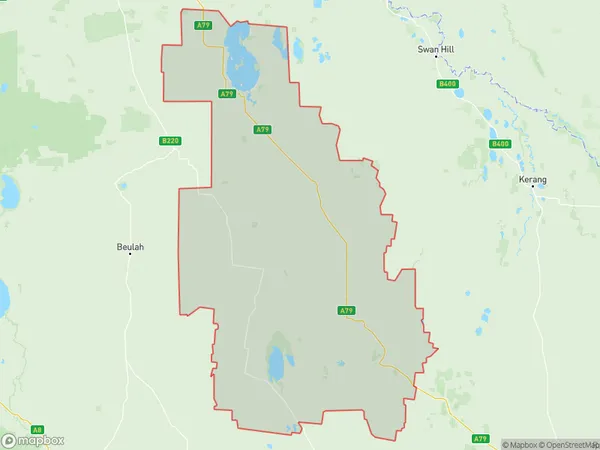
Coonooer BridgeCoonooer Bridge Suburb Area Map (Polygon)

Coonooer Bridge Introduction
Coonooer Bridge is a historic steel truss bridge located in North West, Victoria, Australia. It was built in 1898 by the Victorian Railways and is a significant example of the railway's engineering achievements during the late 19th century. The bridge spans the Murray River and is 1,088 meters long. It was declared a historic landmark in 1994 and is now part of the Murray River National Park.State Name
City or Big Region
District or Regional Area
Suburb Name
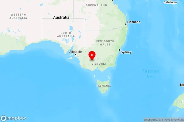
Coonooer Bridge Region Map

Country
Main Region in AU
R3Coordinates
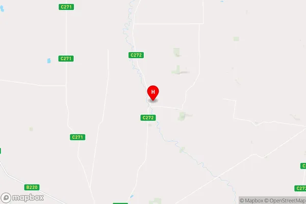
-36.4712,143.319 (latitude/longitude)Coonooer Bridge Area Map (Street)

Longitude
143.230699Latitude
-36.688551Coonooer Bridge Elevation
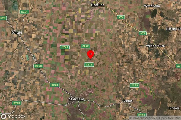
about 301.30 meters height above sea level (Altitude)Coonooer Bridge Suburb Map (Satellite)

Distances
The distance from Coonooer Bridge, North West, VIC to AU Greater Capital CitiesSA1 Code 2011
21503140009SA1 Code 2016
21503140009SA2 Code
215031400SA3 Code
21503SA4 Code
215RA 2011
3RA 2016
3MMM 2015
5MMM 2019
5Charge Zone
V2LGA Region
Northern GrampiansLGA Code
25810Electorate
Mallee