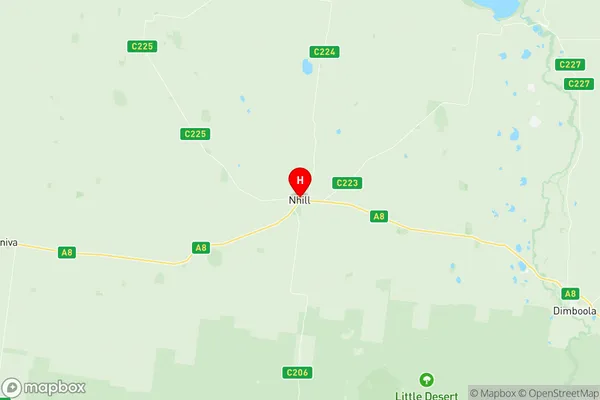
Nhill Region Suburbs & Region, Nhill Region Map & Postcodes
Nhill Region Suburbs & Region, Nhill Region Map & Postcodes in Nhill Region, Grampians, North West, VIC, AU
Nhill Region Region
Region Name
Nhill Region (VIC, AU)Nhill Region Area
11043 square kilometers (11,043 ㎢)Postal Codes
3395, 3414, 3415, from 3418 to 3420, 3423, and 3424 (In total, there are 8 postcodes in Nhill Region.)Nhill Region Introduction
Nhill is a locality in the Shire of Buloke, Victoria, Australia. It is located 336 km north-west of Melbourne, the state capital. The post office opened as Nhill on 1 October 1913 and was closed on 1 March 1971. The town is named after the Nhill River, which flows through it. The Nhill railway station was opened on 1 July 1924 and closed on 1 October 1993. The town has a primary school and a community hall. The nearest major town is Mildura, 43 km away.Australia State
City or Big Region
Greater Capital City
Rest of Vic. (2RVIC)District or Regional Area
Suburb Name
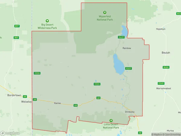
Nhill Region Region Map

Nhill Region Postcodes / Zip Codes
Nhill Region Suburbs
Nhill Region full address
Nhill Region, Grampians, North West, Victoria, VIC, Australia, SaCode: 215011390Country
Nhill Region, Grampians, North West, Victoria, VIC, Australia, SaCode: 215011390
Nhill Region Suburbs & Region, Nhill Region Map & Postcodes has 0 areas or regions above, and there are 23 Nhill Region suburbs below. The sa2code for the Nhill Region region is 215011390. Its latitude and longitude coordinates are -36.3328,141.65. Nhill Region area belongs to Australia's greater capital city Rest of Vic..
Nhill Region Suburbs & Localities
1. Tarranyurk
2. Miram
3. Jeparit
4. Kenmare
5. Gerang Gerung
6. Little Desert
7. Lorquon
8. Netherby
9. Albacutya
10. Kiata
11. Nhill
12. Yanac
13. Telopea Downs
14. Antwerp
15. Dimboola
16. Broughton
17. Glenlee
18. Lawloit
19. Kaniva
20. Lillimur
21. Serviceton
22. Lake Hindmarsh
23. Rainbow
