Little Desert Area, Little Desert Postcode(3418) & Map in Little Desert, North West, VIC
Little Desert Area, Little Desert Postcode(3418) & Map in Little Desert, North West, VIC, AU, Postcode: 3418
Little Desert, Nhill Region, Grampians, North West, Victoria, Australia, 3418
Little Desert Postcode
Area Name
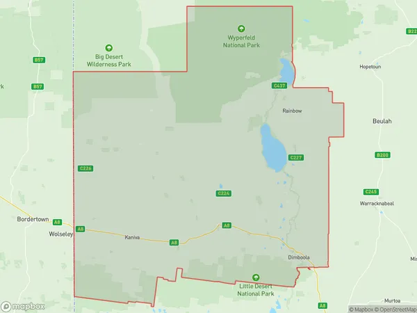
Little DesertLittle Desert Suburb Area Map (Polygon)

Little Desert Introduction
Little Desert National Park is located in the North West region of Victoria, Australia. It is a conservation area that covers an area of 2,260 square kilometers and is home to a variety of plant and animal species. The park is known for its stunning sand dunes, which can reach heights of up to 100 meters. The park also has a number of walking trails, campgrounds, and picnic areas. Visitors can explore the park's unique flora and fauna, including kangaroos, wallabies, and emus. The park is also home to a number of cultural sites, including rock paintings and ancient burial grounds.State Name
City or Big Region
District or Regional Area
Suburb Name
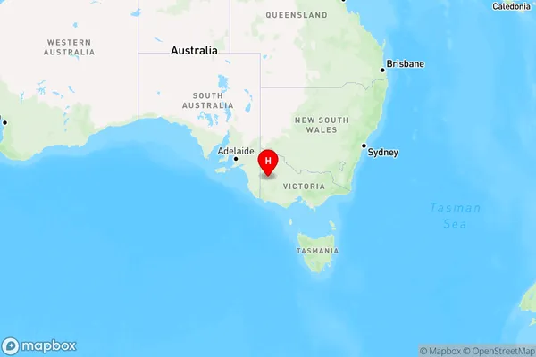
Little Desert Region Map

Country
Main Region in AU
R3Coordinates
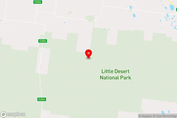
-36.5025841,141.7612263 (latitude/longitude)Little Desert Area Map (Street)

Longitude
141.538074Latitude
-36.074144Little Desert Elevation
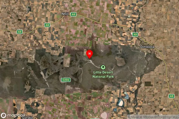
about 139.20 meters height above sea level (Altitude)Little Desert Suburb Map (Satellite)

Distances
The distance from Little Desert, North West, VIC to AU Greater Capital CitiesSA1 Code 2011
21501139030SA1 Code 2016
21501139030SA2 Code
215011390SA3 Code
21501SA4 Code
215RA 2011
3RA 2016
3MMM 2015
5MMM 2019
5Charge Zone
V2LGA Region
HindmarshLGA Code
22980Electorate
Mallee