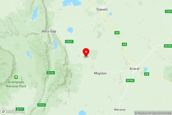
Ararat Region Suburbs & Region, Ararat Region Map & Postcodes
Ararat Region Suburbs & Region, Ararat Region Map & Postcodes in Ararat Region, Grampians, North West, VIC, AU
Ararat Region Region
Region Name
Ararat Region (VIC, AU)Ararat Region Area
4023 square kilometers (4,023 ㎢)Postal Codes
3271, 3293, 3351, 3373, 3375, from 3377 to 3379, and 3381 (In total, there are 9 postcodes in Ararat Region.)Ararat Region Introduction
Ararat is a region in north-west Victoria, Australia. It is located between the Grampians and the Pyrenees mountain ranges and is known for its agriculture, particularly sheep farming. The region has a rich history and is home to many historic sites, including the Ararat Courthouse, which is one of the oldest courthouses in Australia. The town of Ararat is the administrative center of the region and is home to a variety of shops, restaurants, and hotels. The region is also popular with tourists, who come to explore the historic sites and enjoy the natural beauty of the area.Australia State
City or Big Region
Greater Capital City
Rest of Vic. (2RVIC)District or Regional Area
Suburb Name
Ararat Region Region Map

Ararat Region Postcodes / Zip Codes
Ararat Region Suburbs
Ararat Region full address
Ararat Region, Grampians, North West, Victoria, VIC, Australia, SaCode: 215011387Country
Ararat Region, Grampians, North West, Victoria, VIC, Australia, SaCode: 215011387
Ararat Region Suburbs & Region, Ararat Region Map & Postcodes has 0 areas or regions above, and there are 38 Ararat Region suburbs below. The sa2code for the Ararat Region region is 215011387. Its latitude and longitude coordinates are -37.2419,142.698. Ararat Region area belongs to Australia's greater capital city Rest of Vic..
Ararat Region Suburbs & Localities
1. Pura Pura
2. Narrapumelap South
3. Lake Wongan
4. Bayindeen
5. Buangor
6. Dunneworthy
7. Langi Logan
8. Maroona
9. Rocky Point
10. Tatyoon
11. Stavely
12. Streatham
13. Ballyrogan
14. Dobie
15. Mount Cole
16. Norval
17. Rhymney
18. Willaura
19. Germania
20. Mininera
21. Lake Bolac
22. Nerrin Nerrin
23. Denicull Creek
24. Jallukur
25. Mount Cole Creek
26. Moyston
27. Warrak
28. Mafeking
29. Watgania
30. Wickliffe
31. Westmere
32. Armstrong
33. Cathcart
34. Rossbridge
35. Yalla Y Poora
36. Bornes Hill
37. Willaura North
38. Pomonal
