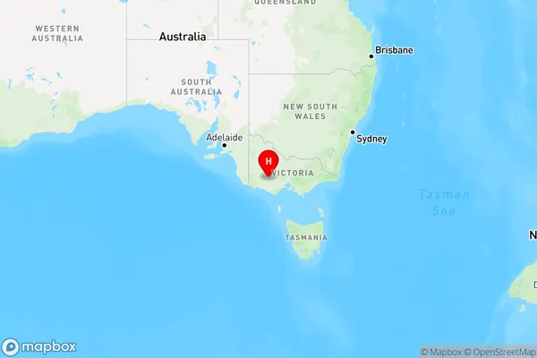
Mininera Area, Mininera Postcode(3351) & Map in Mininera, North West, VIC
Mininera Area, Mininera Postcode(3351) & Map in Mininera, North West, VIC, AU, Postcode: 3351
Mininera, Ararat Region, Grampians, North West, Victoria, Australia, 3351
Mininera Postcode
Area Name
MinineraMininera Suburb Area Map (Polygon)

Mininera Introduction
Mininera is a small township in the North West region of Victoria, Australia. It is located in the Shire of Buloke, approximately 260 kilometers north-west of Melbourne. The town is named after the Mininera Gold Mine, which was the major source of employment in the area during the late 19th and early 20th centuries. The mine closed in 1959, but the town has since diversified its economy with the growth of agriculture and tourism. Mininera is home to a number of historic buildings, including the Mininera Hotel, which was built in 1892. The town also has a community hall, a cricket club, and a golf course.State Name
City or Big Region
District or Regional Area
Suburb Name
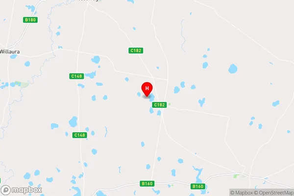
Mininera Region Map

Country
Main Region in AU
R3Coordinates
-37.5954916,142.9324641 (latitude/longitude)Mininera Area Map (Street)

Longitude
143.637463Latitude
-37.758248Mininera Elevation
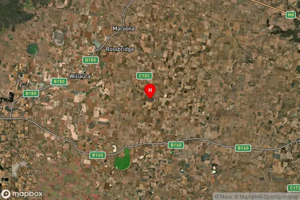
about 298.13 meters height above sea level (Altitude)Mininera Suburb Map (Satellite)

Distances
The distance from Mininera, North West, VIC to AU Greater Capital CitiesSA1 Code 2011
21501138707SA1 Code 2016
21501138707SA2 Code
215011387SA3 Code
21501SA4 Code
215RA 2011
3RA 2016
3MMM 2015
5MMM 2019
5Charge Zone
V2LGA Region
Golden PlainsLGA Code
22490Electorate
Wannon