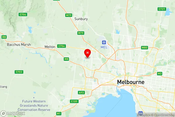
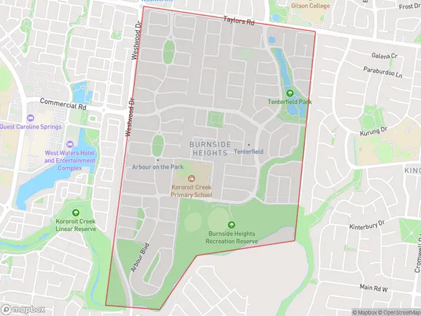
Burnside Heights Suburbs & Region, Burnside Heights Map & Postcodes
Burnside Heights Suburbs & Region, Burnside Heights Map & Postcodes in Burnside Heights, Melton Bacchus Marsh, Melbourne West, VIC, AU
Burnside Heights Region
Region Name
Burnside Heights (VIC, AU)Burnside Heights Area
2 square kilometers (2 ㎢)Postal Codes
3023 (In total, there are 1 postcodes in Burnside Heights.)Burnside Heights Introduction
Burnside Heights is a suburb in Melbourne, Victoria, Australia. It is located 5 km west of Melbourne's central business district (CBD) and is part of the City of Melbourne local government area. The suburb is named after Sir William Burnside, who was a Governor of Victoria from 1859 to 1862. Burnside Heights is a well-established suburb with a mix of residential and commercial properties. It is known for its tree-lined streets, historic homes, and quiet atmosphere. The suburb has a variety of shops, cafes, and restaurants, as well as several parks and recreational facilities. Burnside Heights is well-connected to the rest of Melbourne, with easy access to public transport options such as buses and trains. It is also close to several major highways, making it convenient for commuters. The suburb has a diverse population, with a mix of young professionals, families, and older residents. It is known for its friendly community spirit and strong sense of community. In conclusion, Burnside Heights is a popular suburb in Melbourne with a rich history and a variety of amenities. It is known for its quiet atmosphere, tree-lined streets, and convenient location. Whether you are looking for a place to live or a place to do business, Burnside Heights is an excellent choice.Australia State
City or Big Region
Greater Capital City
Greater Melbourne (2GMEL)District or Regional Area
Suburb Name
Burnside Heights Region Map

Burnside Heights Postcodes / Zip Codes
Burnside Heights Suburbs
Burnside Heights full address
Burnside Heights, Melton Bacchus Marsh, Melbourne West, Victoria, VIC, Australia, SaCode: 213041462Country
Burnside Heights, Melton Bacchus Marsh, Melbourne West, Victoria, VIC, Australia, SaCode: 213041462
Burnside Heights Suburbs & Region, Burnside Heights Map & Postcodes has 0 areas or regions above, and there are 1 Burnside Heights suburbs below. The sa2code for the Burnside Heights region is 213041462. Its latitude and longitude coordinates are -37.727,144.76. Burnside Heights area belongs to Australia's greater capital city Greater Melbourne.
Burnside Heights Suburbs & Localities
1. Burnside Heights
