Burnside Heights Area, Burnside Heights Postcode(3023) & Map in Burnside Heights, Melbourne - West, VIC
Burnside Heights Area, Burnside Heights Postcode(3023) & Map in Burnside Heights, Melbourne - West, VIC, AU, Postcode: 3023
Burnside Heights, Burnside Heights, Melton - Bacchus Marsh, Melbourne - West, Victoria, Australia, 3023
Burnside Heights Postcode
Area Name
Burnside HeightsBurnside Heights Suburb Area Map (Polygon)
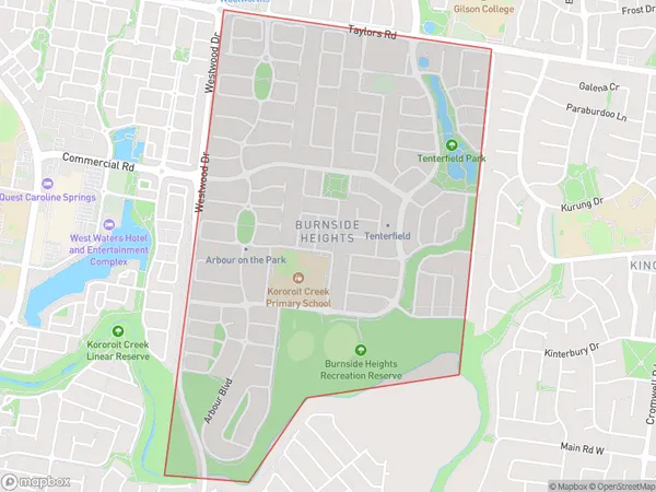
Burnside Heights Introduction
Burnside Heights is a suburb of Melbourne, Australia, located 15 km west of the CBD. It is known for its parks, reserves, and walking trails, as well as its proximity to the Werribee River and the Werribee Open Range Zoo. The suburb has a population of approximately 18,000 people and is home to a variety of housing options, including apartments, townhouses, and houses.State Name
City or Big Region
District or Regional Area
Suburb Name
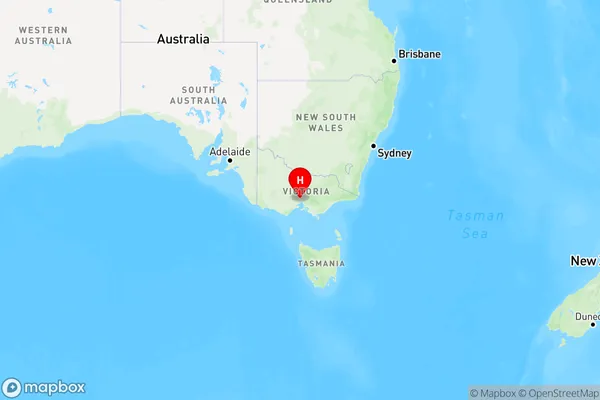
Burnside Heights Region Map
Country
Main Region in AU
R1Coordinates
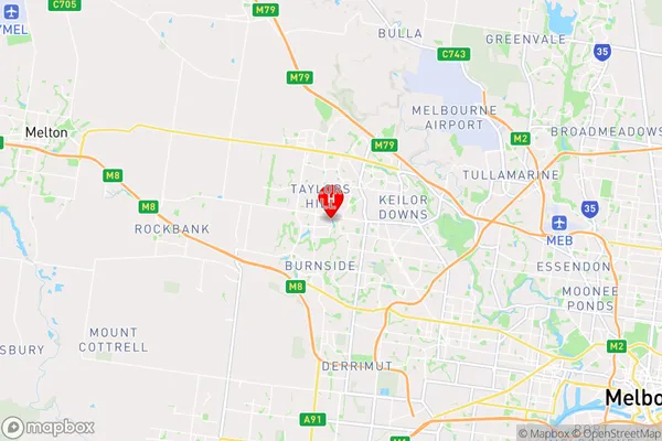
-37.727,144.76 (latitude/longitude)Burnside Heights Area Map (Street)
Longitude
144.755657Latitude
-37.73218752Burnside Heights Elevation
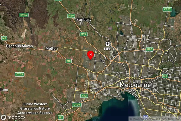
about 52.16 meters height above sea level (Altitude)Burnside Heights Suburb Map (Satellite)
Distances
The distance from Burnside Heights, Melbourne - West, VIC to AU Greater Capital CitiesSA1 Code 2011
21304135420SA1 Code 2016
21304146205SA2 Code
213041462SA3 Code
21304SA4 Code
213RA 2011
1RA 2016
1MMM 2015
1MMM 2019
1Charge Zone
V1LGA Region
BrimbankLGA Code
21180Electorate
Gorton