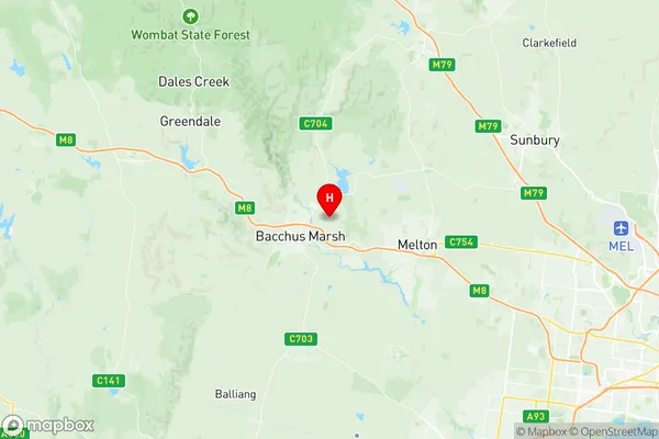
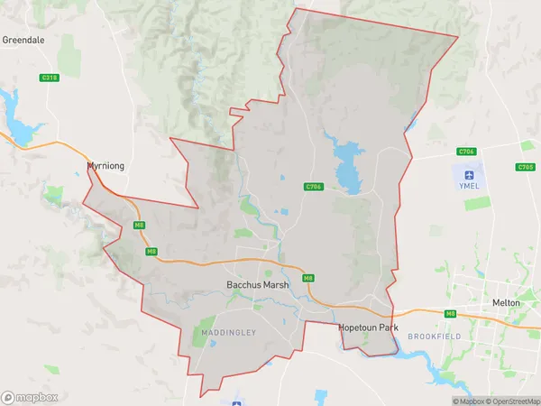
Bacchus Marsh Suburbs & Region, Bacchus Marsh Map & Postcodes
Bacchus Marsh Suburbs & Region, Bacchus Marsh Map & Postcodes in Bacchus Marsh, Melton Bacchus Marsh, Melbourne West, VIC, AU
Bacchus Marsh Region
Region Name
Bacchus Marsh (VIC, AU)Bacchus Marsh Area
196.3 square kilometers (196.3 ㎢)Postal Codes
3340, and 3341 (In total, there are 2 postcodes in Bacchus Marsh.)Bacchus Marsh Introduction
Bacchus Marsh is a suburb of Melbourne, Victoria, Australia. It is located 25 km west of Melbourne's central business district. The suburb is named after the Roman god of wine, Bacchus. Bacchus Marsh has a population of around 11,000 people. The suburb is known for its wine production and has several wineries and cellar doors. The town also has a historic railway station and a variety of shops and restaurants. The nearby Lake Bacchus Marsh is a popular recreational spot for fishing, boating, and swimming.Australia State
City or Big Region
Greater Capital City
Greater Melbourne (2GMEL)District or Regional Area
Suburb Name
Bacchus Marsh Region Map

Bacchus Marsh Postcodes / Zip Codes
Bacchus Marsh Suburbs
Bacchus Marsh full address
Bacchus Marsh, Melton Bacchus Marsh, Melbourne West, Victoria, VIC, Australia, SaCode: 213041353Country
Bacchus Marsh, Melton Bacchus Marsh, Melbourne West, Victoria, VIC, Australia, SaCode: 213041353
Bacchus Marsh Suburbs & Region, Bacchus Marsh Map & Postcodes has 0 areas or regions above, and there are 8 Bacchus Marsh suburbs below. The sa2code for the Bacchus Marsh region is 213041353. Its latitude and longitude coordinates are -37.6586,144.473. Bacchus Marsh area belongs to Australia's greater capital city Greater Melbourne.
Bacchus Marsh Suburbs & Localities
1. Bacchus Marsh
2. Coimadai
3. Hopetoun Park
4. Pentland Hills
5. Darley
6. Long Forest
7. Maddingley
8. Merrimu
