Darley Area, Darley Postcode(3340) & Map in Darley, Melbourne - West, VIC
Darley Area, Darley Postcode(3340) & Map in Darley, Melbourne - West, VIC, AU, Postcode: 3340
Darley, Bacchus Marsh, Melton - Bacchus Marsh, Melbourne - West, Victoria, Australia, 3340
Darley Postcode
Area Name
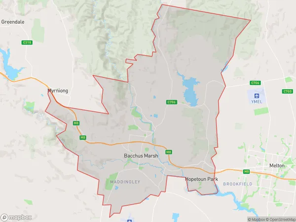
DarleyDarley Suburb Area Map (Polygon)

Darley Introduction
Darley is a suburb of Melbourne, located 10 km west of the CBD. It is known for its historic buildings, such as the Darley Courthouse and the Darley Hotel. The suburb has a strong community spirit and is home to many families and young professionals. It is also home to the Darley Park Golf Course and the Darley Horse Racing Club.State Name
City or Big Region
District or Regional Area
Suburb Name
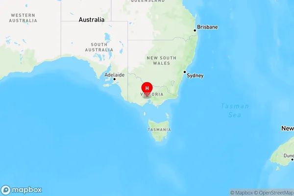
Darley Region Map

Country
Main Region in AU
R2Coordinates
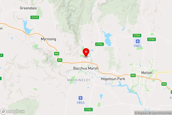
-37.654722,144.437222 (latitude/longitude)Darley Area Map (Street)

Longitude
144.394442Latitude
-37.787135Darley Elevation
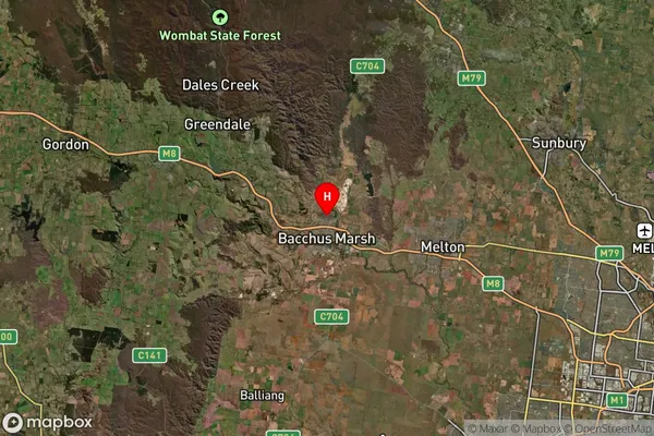
about 371.20 meters height above sea level (Altitude)Darley Suburb Map (Satellite)

Distances
The distance from Darley, Melbourne - West, VIC to AU Greater Capital CitiesSA1 Code 2011
21304135315SA1 Code 2016
21304135315SA2 Code
213041353SA3 Code
21304SA4 Code
213RA 2011
2RA 2016
1MMM 2015
3MMM 2019
1Charge Zone
V1LGA Region
WyndhamLGA Code
27260Electorate
Gorton