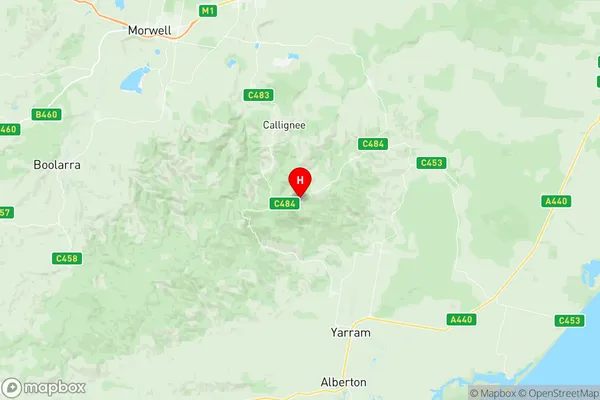
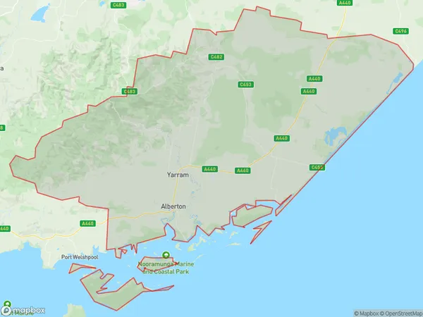
Yarram Suburbs & Region, Yarram Map & Postcodes
Yarram Suburbs & Region, Yarram Map & Postcodes in Yarram, Wellington, Latrobe Gippsland, VIC, AU
Yarram Region
Region Name
Yarram (VIC, AU)Yarram Area
1932 square kilometers (1,932 ㎢)Postal Codes
3844, 3847, 3850, 3851, 3874, 3962, 3966, 3967, and 3971 (In total, there are 9 postcodes in Yarram.)Yarram Introduction
Yarram is a small township in the Latrobe Valley region of Victoria, Australia. It is located approximately 200 kilometers east of Melbourne and 10 kilometers south of Traralgon. The town is known for its coal mining industry, which has been a major source of employment for the local community for many years. Yarram has a population of around 4,000 people and is surrounded by beautiful natural scenery, including the Yarramundi National Park and the Mount Baw Baw Range. The town has a variety of amenities, including a supermarket, a hospital, a primary school, and a number of cafes and restaurants. Yarram is also home to a number of cultural institutions, including the Yarram Arts Centre and the Yarram Cinema.Australia State
City or Big Region
Greater Capital City
Rest of Vic. (2RVIC)District or Regional Area
Suburb Name
Yarram Region Map

Yarram Postcodes / Zip Codes
Yarram Suburbs
Yarram full address
Yarram, Wellington, Latrobe Gippsland, Victoria, VIC, Australia, SaCode: 205051104Country
Yarram, Wellington, Latrobe Gippsland, Victoria, VIC, Australia, SaCode: 205051104
Yarram Suburbs & Region, Yarram Map & Postcodes has 0 areas or regions above, and there are 42 Yarram suburbs below. The sa2code for the Yarram region is 205051104. Its latitude and longitude coordinates are -38.4193,146.606. Yarram area belongs to Australia's greater capital city Rest of Vic..
Yarram Suburbs & Localities
1. Giffard
2. Darriman
3. Carrajung South
4. Blackwarry
5. Carrajung
6. Carrajung Lower
7. Cherrilong
8. Mcloughlins Beach
9. Hedley
10. Balook
11. Macks Creek
12. Port Albert
13. Staceys Bridge
14. Tarraville
15. Woorarra
16. Binginwarri
17. Alberton
18. Alberton West
19. Calrossie
20. Gelliondale
21. Hunterston
22. Langsborough
23. Madalya
24. Won Wron
25. Willung South
26. Giffard
27. Callignee South
28. Carrajung South
29. Willung South
30. Giffard West
31. Woodside
32. Woodside Beach
33. Woodside North
34. Devon North
35. Hiawatha
36. Jack River
37. Manns Beach
38. Wonyip
39. Robertsons Beach
40. Snake Island
41. Tarra Valley
42. Yarram
