Alberton West Area, Alberton West Postcode(3971) & Map in Alberton West, Latrobe - Gippsland, VIC
Alberton West Area, Alberton West Postcode(3971) & Map in Alberton West, Latrobe - Gippsland, VIC, AU, Postcode: 3971
Alberton West, Yarram, Wellington, Latrobe - Gippsland, Victoria, Australia, 3971
Alberton West Postcode
Area Name
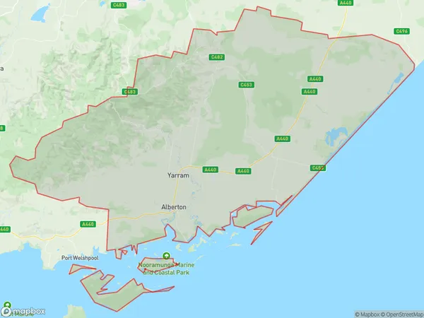
Alberton WestAlberton West Suburb Area Map (Polygon)

Alberton West Introduction
Alberton West is a locality in the Gippsland region of Victoria, Australia. It is located in the Shire of Latrobe, approximately 116 kilometers east of Melbourne. The post office opened as Alberton on 1 November 1891 and was closed on 1 March 1974. The name was changed to Alberton West on 1 July 1975. The town is surrounded by farmland and forests and is known for its scenic beauty and peaceful atmosphere.State Name
City or Big Region
District or Regional Area
Suburb Name
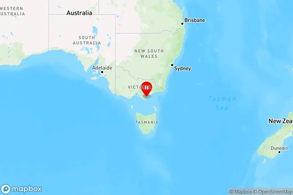
Alberton West Region Map

Country
Main Region in AU
R3Coordinates
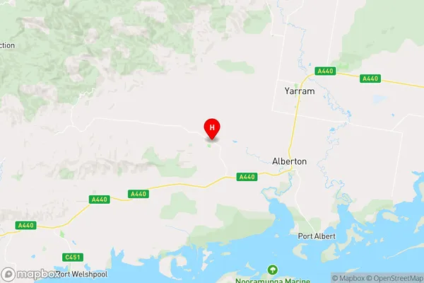
-38.6,146.590556 (latitude/longitude)Alberton West Area Map (Street)

Longitude
146.815723Latitude
-38.631942Alberton West Elevation
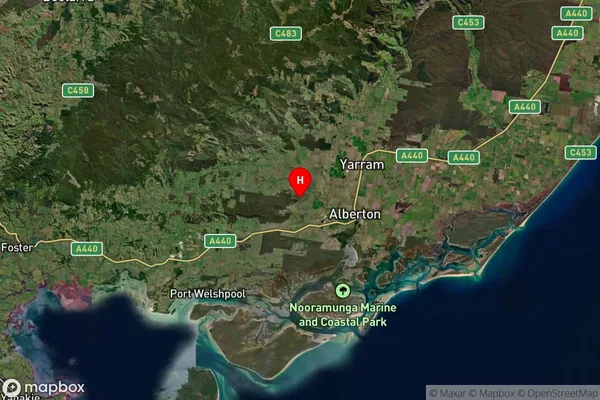
about 0.59 meters height above sea level (Altitude)Alberton West Suburb Map (Satellite)

Distances
The distance from Alberton West, Latrobe - Gippsland, VIC to AU Greater Capital CitiesSA1 Code 2011
20505110405SA1 Code 2016
20505110405SA2 Code
205051104SA3 Code
20505SA4 Code
205RA 2011
2RA 2016
2MMM 2015
5MMM 2019
5Charge Zone
V2LGA Region
LatrobeLGA Code
23810Electorate
Gippsland