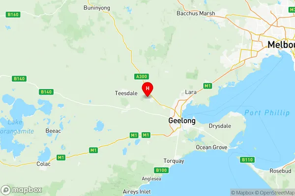
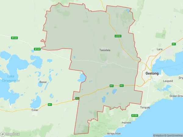
Barwon West Suburbs & Region, Barwon West Map & Postcodes
Barwon West Suburbs & Region, Barwon West Map & Postcodes in Barwon West, Geelong, VIC, AU
Barwon West Region
Region Name
Barwon West (VIC, AU)Barwon West Area
2580 square kilometers (2,580 ㎢)Postal Codes
3240, 3328, from 3330 to 3334, and 3342 (In total, there are 8 postcodes in Barwon West.)Barwon West Introduction
Barwon West is a suburb of Geelong, Victoria, Australia. It is located 12 km west of Geelong's central business district and is part of the City of Greater Geelong local government area. The suburb has a population of around 11,000 people and is known for its rural atmosphere and scenic surroundings. It is home to a number of parks and reserves, including the Barwon River Reserve and the Barwon Heads Conservation Reserve. The suburb is also home to a number of schools, including St John of God College and Barwon Heads Primary School.Australia State
City or Big Region
District or Regional Area
Barwon West Region Map

Barwon West Postcodes / Zip Codes
Barwon West Suburbs
Bannockburn
Barwon West full address
Barwon West, Geelong, Victoria, VIC, Australia, SaCode: 20301Country
Barwon West, Geelong, Victoria, VIC, Australia, SaCode: 20301
Barwon West Suburbs & Region, Barwon West Map & Postcodes has 2 areas or regions above, and there are 32 Barwon West suburbs below. The sa3code for the Barwon West region is 20301. Its latitude and longitude coordinates are -38.05,144.167.
Barwon West Suburbs & Localities
1. Gherang
2. Modewarre
3. Moriac
4. Mount Moriac
5. Paraparap
6. Buckley
7. Gheringhap
8. Maude
9. Russells Bridge
10. Lethbridge
11. Bamganie
12. Elaine
13. Mount Doran
14. Ballan
15. Blakeville
16. Bunding
17. Durdidwarrah
18. Teesdale
19. Rokewood
20. Sutherlands Creek
21. Bungal
22. Cargerie
23. Beremboke
24. Mount Wallace
25. She Oaks
26. Meredith
27. Morrisons
28. Fiskville
29. Bannockburn
30. Steiglitz
31. Colbrook
32. Ingliston
