Bannockburn Suburbs & Region, Bannockburn Map & Postcodes
Bannockburn Suburbs & Region, Bannockburn Map & Postcodes in Bannockburn, Barwon West, Geelong, VIC, AU
Bannockburn Region
Region Name
Bannockburn (VIC, AU)Bannockburn Area
192.05 square kilometers (192.05 ㎢)Postal Codes
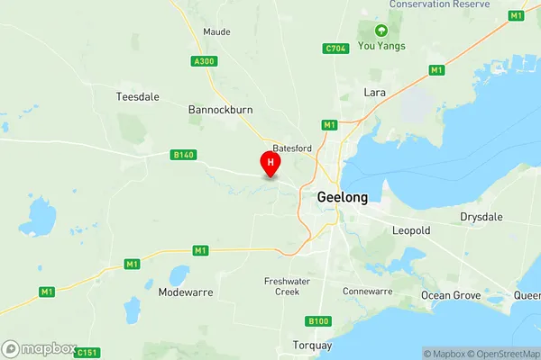
3218, 3221, and 3331 (In total, there are 3 postcodes in Bannockburn.)Bannockburn Suburb Area Map (Polygon)

Bannockburn Introduction
Bannockburn is a suburb in the City of Greater Geelong, Victoria, Australia. It is located 12 km south-west of Geelong's central business district and is part of the Greater Geelong region. Bannockburn is named after the Scottish town of Bannockburn, which was the site of a famous battle in 1314. The suburb has a population of around 11,000 people and is known for its rural atmosphere, scenic gardens, and historic buildings. It is home to several parks, including the Bannockburn Reserve, which features a playground, walking tracks, and a picnic area. Bannockburn also has a community center, a library, and a number of shops and restaurants. The suburb is well-connected to Geelong and the rest of the region, with easy access to the Princes Freeway and the Western Ring Road.Australia State
City or Big Region
Greater Capital City
Rest of Vic. (2RVIC)District or Regional Area
Suburb Name
Bannockburn Region Map
Bannockburn Postcodes / Zip Codes
Bannockburn Suburbs
Bannockburn full address
Bannockburn, Barwon West, Geelong, Victoria, VIC, Australia, SaCode: 203011034Country
Bannockburn, Barwon West, Geelong, Victoria, VIC, Australia, SaCode: 203011034
Bannockburn Suburbs & Region, Bannockburn Map & Postcodes has 0 areas or regions above, and there are 6 Bannockburn suburbs below. The sa2code for the Bannockburn region is 203011034. Its latitude and longitude coordinates are -38.1288,144.25. Bannockburn area belongs to Australia's greater capital city Rest of Vic..
Bannockburn Suburbs & Localities
1. Murgheboluc
2. Stonehaven
3. Stonehaven
4. Bannockburn
5. Gheringhap
6. Russells Bridge