Paraparap Area, Paraparap Postcode(3240) & Map in Paraparap, Geelong, VIC
Paraparap Area, Paraparap Postcode(3240) & Map in Paraparap, Geelong, VIC, AU, Postcode: 3240
Paraparap, Winchelsea, Barwon - West, Geelong, Victoria, Australia, 3240
Paraparap Postcode
Area Name
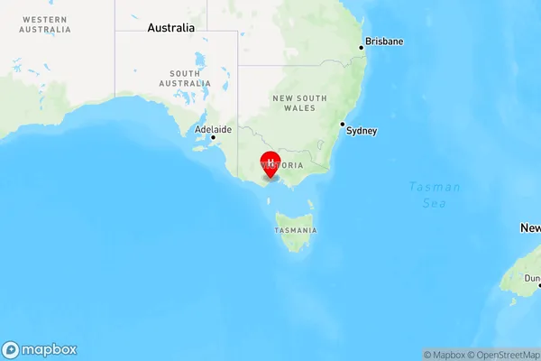
ParaparapParaparap Suburb Area Map (Polygon)

Paraparap Introduction
Paraparap is a locality in the City of Greater Geelong, Victoria, Australia. It is located in the western part of the city, near the intersection of the Princes Highway and the Western Ring Road. The post office opened as Paraparap on 1 July 1891 and was closed on 1 February 1974. The name Paraparap is derived from the Aboriginal word "parapara," meaning "by the side of a hill."State Name
City or Big Region
District or Regional Area
Suburb Name
Paraparap Region Map

Country
Main Region in AU
R2Coordinates
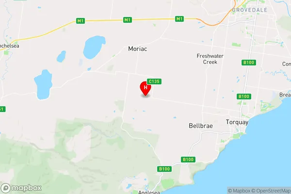
-38.298889,144.183889 (latitude/longitude)Paraparap Area Map (Street)

Longitude
144.174411Latitude
-38.263005Paraparap Elevation
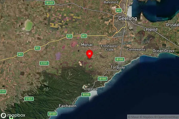
about 82.34 meters height above sea level (Altitude)Paraparap Suburb Map (Satellite)

Distances
The distance from Paraparap, Geelong, VIC to AU Greater Capital CitiesSA1 Code 2011
20301103609SA1 Code 2016
20301103609SA2 Code
203011036SA3 Code
20301SA4 Code
203RA 2011
2RA 2016
2MMM 2015
2MMM 2019
2Charge Zone
V2LGA Region
Surf CoastLGA Code
26490Electorate
Corangamite