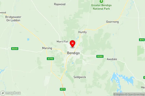
Bendigo Suburbs & Region, Bendigo Map & Postcodes
Bendigo Suburbs & Region, Bendigo Map & Postcodes in Bendigo, VIC, AU
Bendigo Region
Region Name
Bendigo (VIC, AU)Bendigo Area
16.08 square kilometers (16.08 ㎢)Bendigo Introduction
Bendigo is a city in central Victoria, Australia. It is the administrative center of the Bendigo Region and the seat of the local government area. The city has a population of around 100,000 people and is known for its rich gold-mining history, historic architecture, and vibrant cultural scene. Bendigo is home to several landmarks, including the Bendigo Art Gallery, the Bendigo Pottery, and the Golden Square Shopping Centre. The city is also a popular tourist destination, with many visitors coming to explore the city's historic buildings, museums, and parks.Australia State
City or Big Region
Greater Capital City
Rest of Vic. (2RVIC)District or Regional Area
Suburb Name
Bendigo Region Map

Bendigo Suburbs
Bendigo full address
Bendigo, Victoria, VIC, Australia, SaCode: 202011018Country
Bendigo, Victoria, VIC, Australia, SaCode: 202011018
Bendigo Suburbs & Region, Bendigo Map & Postcodes has 0 areas or regions above, and there are 0 Bendigo suburbs below. The sa2code for the Bendigo region is 202011018. Its latitude and longitude coordinates are -36.736,144.278. Bendigo area belongs to Australia's greater capital city Rest of Vic..
