Bendigo Suburbs & Region, Bendigo Map & Postcodes
Bendigo Suburbs & Region, Bendigo Map & Postcodes in Bendigo, VIC, AU
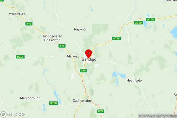
Bendigo Region
Region Name
Bendigo (VIC, AU)Bendigo Area
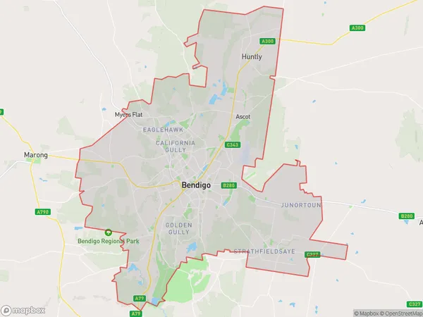
287.44 square kilometers (287.44 ㎢)Bendigo Suburb Area Map (Polygon)
Bendigo Introduction
Bendigo is a city in central Victoria, Australia. It is the administrative center of the Bendigo Region and the third-most populous city in the state. The city is known for its rich gold mining history and its cultural heritage, including the Bendigo Art Gallery and the Golden Square Shopping Center. Bendigo is also home to a number of universities, including the Bendigo Institute of Technology and the Central Victorian University. The city is surrounded by beautiful countryside, including the Bendigo National Park and the Mount Alexander State Forest.Australia State
City or Big Region
District or Regional Area
Bendigo Region Map
Bendigo Suburbs
Bendigo
East Bendigo Kennington
Flora Hill Spring Gully
Kangaroo Flat Golden Square
Bendigo full address
Bendigo, Victoria, VIC, Australia, SaCode: 20201Country
Bendigo, Victoria, VIC, Australia, SaCode: 20201
Bendigo Suburbs & Region, Bendigo Map & Postcodes has 4 areas or regions above, and there are 0 Bendigo suburbs below. The sa3code for the Bendigo region is 20201. Its latitude and longitude coordinates are -36.757,144.279.