Tysons Reef Area, Tysons Reef Postcode(3550) & Map in Tysons Reef, Bendigo, VIC
Tysons Reef Area, Tysons Reef Postcode(3550) & Map in Tysons Reef, Bendigo, VIC, AU, Postcode: 3550
Tysons Reef, Bendigo, Bendigo, Bendigo, Victoria, Australia, 3550
Tysons Reef Postcode
Area Name
Tysons ReefTysons Reef Suburb Area Map (Polygon)

Tysons Reef Introduction
Tyson's Reef is a reef located off the coast of Bendigo, Victoria, Australia. It is a popular spot for snorkeling and diving due to its clear waters and diverse marine life. The reef is named after John Tyson, a local businessman who was instrumental in its protection and development.State Name
City or Big Region
District or Regional Area
Suburb Name
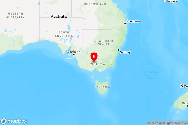
Tysons Reef Region Map

Country
Main Region in AU
R3Coordinates
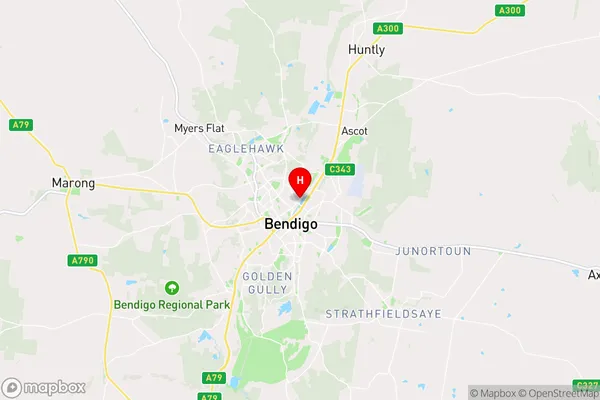
-36.7458,144.289 (latitude/longitude)Tysons Reef Area Map (Street)

Longitude
144.285267Latitude
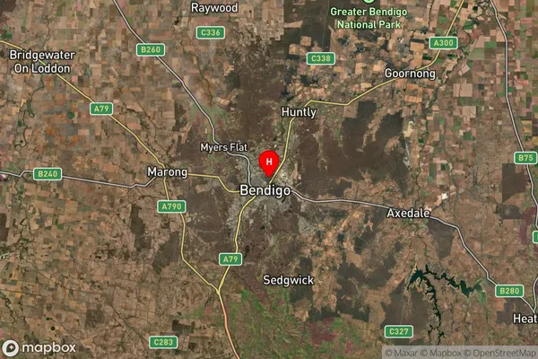
-36.764269Tysons Reef Suburb Map (Satellite)

Distances
The distance from Tysons Reef, Bendigo, VIC to AU Greater Capital CitiesSA1 Code 2011
20201101835SA1 Code 2016
20201101835SA2 Code
202011018SA3 Code
20201SA4 Code
202RA 2011
2RA 2016
2MMM 2015
2MMM 2019
2Charge Zone
V2LGA Region
Greater BendigoLGA Code
22620Electorate
Bendigo