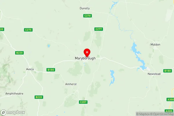
Maryborough (Vic.) Suburbs & Region, Maryborough (Vic.) Map & Postcodes
Maryborough (Vic.) Suburbs & Region, Maryborough (Vic.) Map & Postcodes in Maryborough (Vic.), Grampians, North West, VIC, AU
Maryborough (Vic.) Region
Region Name
Maryborough (Vic.) (VIC, AU)Maryborough (Vic.) Area
45.54 square kilometers (45.54 ㎢)Postal Codes
3465 (In total, there are 1 postcodes in Maryborough (Vic.).)Maryborough (Vic.) Introduction
Maryborough is a historic city in north-west Victoria, Australia. It is located on the banks of the Maryborough River, approximately 250 kilometers north-east of Melbourne. The city was founded in 1845 and was named after Queen Mary. It is known for its historic architecture, including the Maryborough Courthouse, which is one of Australia's oldest courthouses. The city is also home to a number of museums, including the Maryborough Military Museum and the Old Prison Museum. The surrounding region is known for its agriculture, with wheat and sheep being the main crops. Maryborough is a popular tourist destination, with many visitors coming to explore the city's historic buildings and museums.Australia State
City or Big Region
Greater Capital City
Rest of Vic. (2RVIC)District or Regional Area
Suburb Name
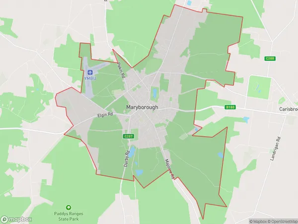
Maryborough (Vic.) Region Map

Maryborough (Vic.) Postcodes / Zip Codes
Maryborough (Vic.) Suburbs
Maryborough (Vic.) full address
Maryborough (Vic.), Grampians, North West, Victoria, VIC, Australia, SaCode: 201031016Country
Maryborough (Vic.), Grampians, North West, Victoria, VIC, Australia, SaCode: 201031016
Maryborough (Vic.) Suburbs & Region, Maryborough (Vic.) Map & Postcodes has 0 areas or regions above, and there are 1 Maryborough (Vic.) suburbs below. The sa2code for the Maryborough (Vic.) region is 201031016. Its latitude and longitude coordinates are -37.0473,143.745. Maryborough (Vic.) area belongs to Australia's greater capital city Rest of Vic..
Maryborough (Vic.) Suburbs & Localities
1. Maryborough
