Maryborough Area, Maryborough Postcode(3465) & Map in Maryborough, Ballarat, VIC
Maryborough Area, Maryborough Postcode(3465) & Map in Maryborough, Ballarat, VIC, AU, Postcode: 3465
Maryborough, Maryborough (Vic.), Maryborough - Pyrenees, Ballarat, Victoria, Australia, 3465
Maryborough Postcode
Area Name
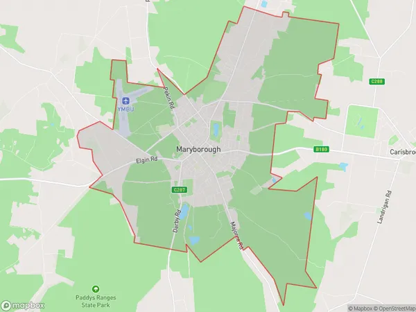
MaryboroughMaryborough Suburb Area Map (Polygon)

Maryborough Introduction
Maryborough is a historic city in central Victoria, Australia. It is located on the banks of the Maribyrnong River and is known for its well-preserved Victorian architecture. The city has a rich history, with gold rushes in the 1850s and 1860s contributing to its growth. Today, Maryborough is a popular tourist destination and a hub for agriculture and manufacturing.State Name
City or Big Region
District or Regional Area
Suburb Name
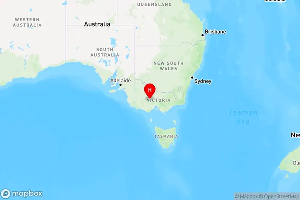
Maryborough Region Map

Country
Main Region in AU
R3Coordinates
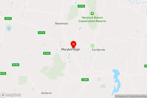
-37.0473301,143.7446068 (latitude/longitude)Maryborough Area Map (Street)

Longitude
143.611335Latitude
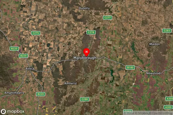
-37.021478Maryborough Suburb Map (Satellite)

Distances
The distance from Maryborough, Ballarat, VIC to AU Greater Capital CitiesSA1 Code 2011
20103101615SA1 Code 2016
20103101615SA2 Code
201031016SA3 Code
20103SA4 Code
201RA 2011
2RA 2016
2MMM 2015
4MMM 2019
4Charge Zone
V2LGA Region
Central GoldfieldsLGA Code
21670Electorate
Mallee