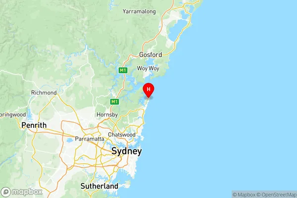
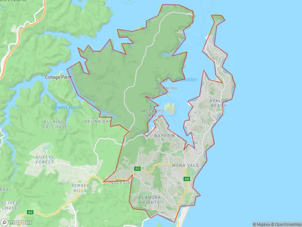
Pittwater Suburbs & Region, Pittwater Map & Postcodes
Pittwater Suburbs & Region, Pittwater Map & Postcodes in Pittwater, Sydney Northern Beaches, NSW, AU
Pittwater Region
Region Name
Pittwater (NSW, AU)Pittwater Area
90.65 square kilometers (90.65 ㎢)Postal Codes
1658, 1660, and from 2102 to 2108 (In total, there are 9 postcodes in Pittwater.)Pittwater Introduction
Pittwater is a suburb on the northern beaches of Sydney, in New South Wales, Australia. It is located 18 kilometers north of Sydney's central business district and is part of the Northern Beaches Council. Pittwater is known for its beautiful beaches, lush forests, and peaceful atmosphere. The suburb has a population of around 10,000 people and is home to a variety of wildlife, including koalas, wallabies, and kookaburras. Pittwater also has a number of popular cafes and restaurants, as well as a community center and library. The suburb is surrounded by stunning natural scenery, including the Ku-ring-gai Chase National Park and the Bouddi National Park.Australia State
City or Big Region
District or Regional Area
Pittwater Region Map

Pittwater Postcodes / Zip Codes
Pittwater Suburbs
Bayview Elanora Heights
Mona Vale Warriewood (North)
North Narrabeen Warriewood (South)
Pittwater full address
Pittwater, Sydney Northern Beaches, New South Wales, NSW, Australia, SaCode: 12202Country
Pittwater, Sydney Northern Beaches, New South Wales, NSW, Australia, SaCode: 12202
Pittwater Suburbs & Region, Pittwater Map & Postcodes has 5 areas or regions above, and there are 31 Pittwater suburbs below. The sa3code for the Pittwater region is 12202. Its latitude and longitude coordinates are -33.6303,151.33.
Pittwater Suburbs & Localities
1. Mona Vale
2. Mona Vale
3. Elvina Bay
4. Scotland Island
5. Newport
6. Warriewood Dc
7. Bayview
8. Avalon
9. Avalon Beach
10. Warriewood
11. Warriewood Shopping Square
12. Mona Vale
13. Mccarrs Creek
14. Morning Bay
15. Newport Beach
16. Bilgola Beach
17. Church Point
18. Lovett Bay
19. Bilgola
20. Bilgola Plateau
21. Careel Bay
22. Clareville
23. Taylors Point
24. Currawong Beach
25. Whale Beach
26. Paradise Beach
27. Coasters Retreat
28. Great Mackerel Beach
29. Morning Bay
30. Palm Beach
31. The Basin
