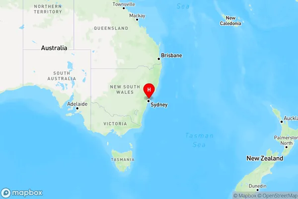
Scotland Island Area, Scotland Island Postcode(2105) & Map in Scotland Island, Sydney - Northern Beaches, NSW
Scotland Island Area, Scotland Island Postcode(2105) & Map in Scotland Island, Sydney - Northern Beaches, NSW, AU, Postcode: 2105
Scotland Island, Bayview - Elanora Heights, Pittwater, Sydney - Northern Beaches, New South Wales, Australia, 2105
Scotland Island Postcode
Area Name
Scotland IslandScotland Island Suburb Area Map (Polygon)

Scotland Island Introduction
Scotland Island is a small island located in the Middle Harbour of Sydney, known for its peaceful atmosphere, scenic walks, and abundant wildlife. It is part of the Northern Beaches region and is accessible by ferry from Circular Quay. The island has a rich history, including its role as a penal colony and a military base. It is home to a variety of plant and animal species, including the rare Sydney rock oyster. Visitors can explore the historic ruins, enjoy picnics on the beach, and take part in water activities such as kayaking and sailing.State Name
City or Big Region
District or Regional Area
Suburb Name
Scotland Island Region Map

Country
Main Region in AU
R1Coordinates
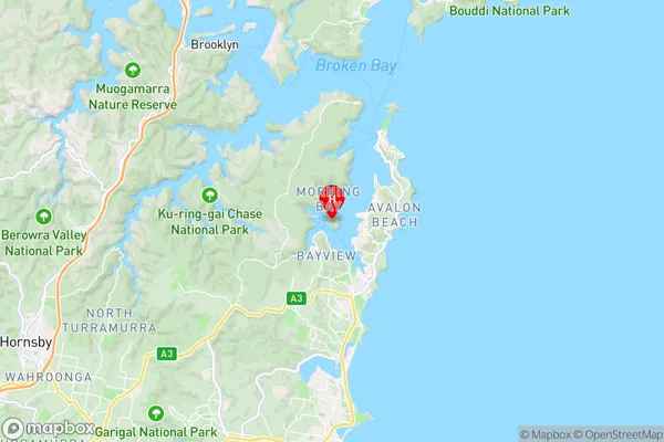
-33.6395909,151.290404 (latitude/longitude)Scotland Island Area Map (Street)

Longitude
151.278293Latitude
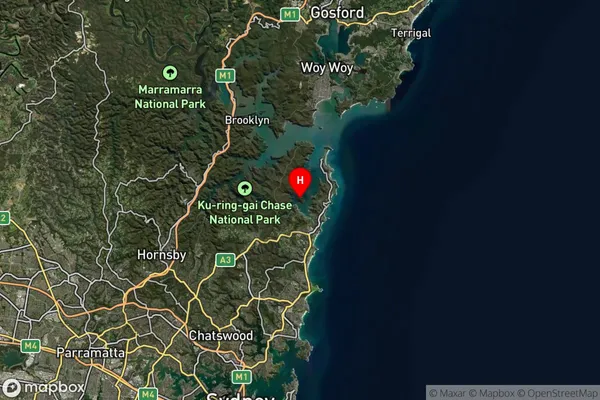
-33.642202Scotland Island Suburb Map (Satellite)

Distances
The distance from Scotland Island, Sydney - Northern Beaches, NSW to AU Greater Capital CitiesSA1 Code 2011
12202142101SA1 Code 2016
12202142101SA2 Code
122021421SA3 Code
12202SA4 Code
122RA 2011
1RA 2016
1MMM 2015
1MMM 2019
1Charge Zone
N1LGA Region
Northern BeachesLGA Code
15990Electorate
Mackellar