Mona Vale Area, Mona Vale Postcode(2103) & Map in Mona Vale, Sydney - Northern Beaches, NSW
Mona Vale Area, Mona Vale Postcode(2103) & Map in Mona Vale, Sydney - Northern Beaches, NSW, AU, Postcode: 2103
Mona Vale, Warriewood - Mona Vale, Pittwater, Sydney - Northern Beaches, New South Wales, Australia, 2103
Mona Vale Postcode
Area Name
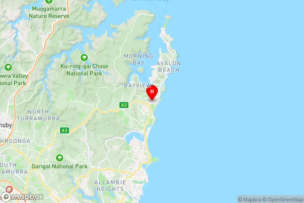
Mona ValeMona Vale Suburb Area Map (Polygon)

Mona Vale Introduction
Mona Vale is a suburb on Sydney's Northern Beaches, known for its beautiful beaches, lush parks, and vibrant community. It is located between the ocean and the Sydney Harbour National Park, and is home to a diverse population of people from all over the world. The suburb has a variety of shops, restaurants, and cafes, as well as a community center and library. Mona Vale is also known for its popular surfing spots, including the Mona Vale Beach and the Breakwall.State Name
City or Big Region
District or Regional Area
Suburb Name
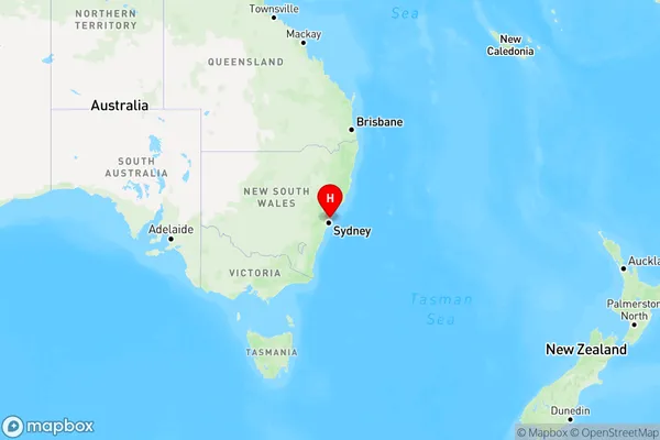
Mona Vale Region Map
Country
Main Region in AU
R1Coordinates
-33.6757024,151.3064407 (latitude/longitude)Mona Vale Area Map (Street)
Longitude
151.302825Latitude
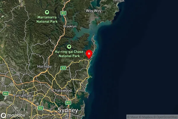
-33.679336Mona Vale Suburb Map (Satellite)
Distances
The distance from Mona Vale, Sydney - Northern Beaches, NSW to AU Greater Capital CitiesSA1 Code 2011
12202142340SA1 Code 2016
12202142340SA2 Code
122021423SA3 Code
12202SA4 Code
122RA 2011
1RA 2016
1MMM 2015
1MMM 2019
1Charge Zone
N1LGA Region
Northern BeachesLGA Code
15990Electorate
Mackellar