Currawong Beach Area, Currawong Beach Postcode(2108) & Map in Currawong Beach, Sydney - Northern Beaches, NSW
Currawong Beach Area, Currawong Beach Postcode(2108) & Map in Currawong Beach, Sydney - Northern Beaches, NSW, AU, Postcode: 2108
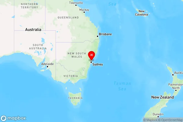
Currawong Beach, Bayview - Elanora Heights, Pittwater, Sydney - Northern Beaches, New South Wales, Australia, 2108
Currawong Beach Postcode
Area Name
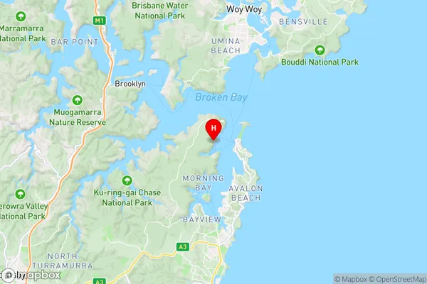
Currawong BeachCurrawong Beach Suburb Area Map (Polygon)

Currawong Beach Introduction
Currawong Beach is a picturesque coastal reserve located in the Northern Beaches of Sydney, New South Wales, Australia. It is known for its stunning natural beauty, including crystal-clear waters, golden sand, and lush vegetation. The beach offers a range of activities, such as swimming, surfing, fishing, and walking, and is a popular spot for picnics and barbecues. It is also home to a diverse range of wildlife, including birds, reptiles, and mammals.State Name
City or Big Region
District or Regional Area
Suburb Name
Currawong Beach Region Map
Country
Main Region in AU
R1Coordinates
-33.5952002,151.2979869 (latitude/longitude)Currawong Beach Area Map (Street)
Longitude
151.322759Latitude
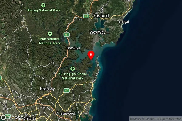
-33.60382Currawong Beach Suburb Map (Satellite)
Distances
The distance from Currawong Beach, Sydney - Northern Beaches, NSW to AU Greater Capital CitiesSA1 Code 2011
12202142119SA1 Code 2016
12202142119SA2 Code
122021421SA3 Code
12202SA4 Code
122RA 2011
2RA 2016
2MMM 2015
2MMM 2019
2Charge Zone
N1LGA Region
Northern BeachesLGA Code
15990Electorate
Mackellar