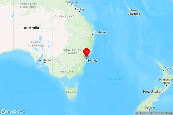
The Basin Area, The Basin Postcode(2108) & Map in The Basin, Sydney - Northern Beaches, NSW
The Basin Area, The Basin Postcode(2108) & Map in The Basin, Sydney - Northern Beaches, NSW, AU, Postcode: 2108
The Basin, Bayview - Elanora Heights, Pittwater, Sydney - Northern Beaches, New South Wales, Australia, 2108
The Basin Postcode
Area Name
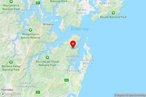
The BasinThe Basin Suburb Area Map (Polygon)

The Basin Introduction
The Basin is a picturesque suburb located in the Northern Beaches of Sydney, New South Wales, Australia. It is known for its lush green forests, tranquil bushwalks, and stunning coastal views. The Basin is surrounded by the Ku-ring-gai Chase National Park and offers a peaceful escape from the hustle and bustle of city life. It is home to a variety of wildlife, including kangaroos, wallabies, and echidnas, and is a popular destination for outdoor enthusiasts and nature lovers.State Name
City or Big Region
District or Regional Area
Suburb Name
The Basin Region Map

Country
Main Region in AU
R1Coordinates
-33.6049927,151.2866804 (latitude/longitude)The Basin Area Map (Street)

Longitude
151.322759Latitude
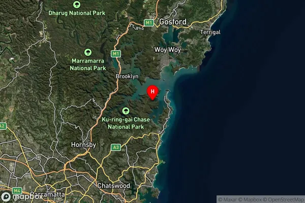
-33.60382The Basin Suburb Map (Satellite)

Distances
The distance from The Basin, Sydney - Northern Beaches, NSW to AU Greater Capital CitiesSA1 Code 2011
12202142119SA1 Code 2016
12202142119SA2 Code
122021421SA3 Code
12202SA4 Code
122RA 2011
2RA 2016
2MMM 2015
2MMM 2019
2Charge Zone
N1LGA Region
Northern BeachesLGA Code
15990Electorate
Mackellar