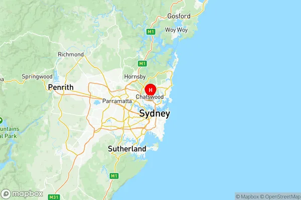
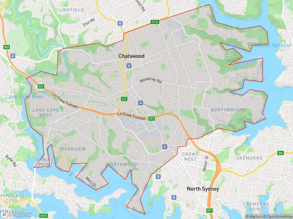
Chatswood Lane Cove Suburbs & Region, Chatswood Lane Cove Map & Postcodes
Chatswood Lane Cove Suburbs & Region, Chatswood Lane Cove Map & Postcodes in Chatswood Lane Cove, Sydney North Sydney and Hornsby, NSW, AU
Chatswood Lane Cove Region
Region Name
Chatswood Lane Cove (NSW, AU)Chatswood Lane Cove Area
33.17 square kilometers (33.17 ㎢)Postal Codes
1560, 1570, 1595, 1597, 2057, 2063, 2064, and from 2066 to 2068 (In total, there are 10 postcodes in Chatswood Lane Cove.)Chatswood Lane Cove Introduction
Chatswood Lane Cove is a suburb in Sydney, Australia, located in the state of New South Wales. It is part of the Northern Beaches Council and is situated 10 kilometers north of the Sydney central business district. Chatswood is known for its high-end shopping, dining, and entertainment precinct, The Chatswood Chase. The suburb also has a large population of professionals and is home to several major corporate headquarters. Chatswood Lane Cove is well-connected to other parts of Sydney, with easy access to the Sydney Harbour Bridge and the North Shore train line. It is also a short drive to the stunning beaches of the Northern Beaches.Australia State
City or Big Region
District or Regional Area
Chatswood Lane Cove Region Map

Chatswood Lane Cove Postcodes / Zip Codes
Chatswood Lane Cove Suburbs
Chatswood (East) Artarmon
Chatswood (West) Lane Cove North
Chatswood Lane Cove full address
Chatswood Lane Cove, Sydney North Sydney and Hornsby, New South Wales, NSW, Australia, SaCode: 12101Country
Chatswood Lane Cove, Sydney North Sydney and Hornsby, New South Wales, NSW, Australia, SaCode: 12101
Chatswood Lane Cove Suburbs & Region, Chatswood Lane Cove Map & Postcodes has 8 areas or regions above, and there are 23 Chatswood Lane Cove suburbs below. The sa3code for the Chatswood Lane Cove region is 12101. Its latitude and longitude coordinates are -33.8093,151.186.
Chatswood Lane Cove Suburbs & Localities
1. Lane Cove
2. Lane Cove
3. Northbridge
4. Artarmon
5. Northwood
6. Osborne Park
7. Willoughby North
8. Artarmon
9. Linley Point
10. Chatswood
11. Chatswood
12. Northbridge
13. Lane Cove North
14. Willoughby
15. Lane Cove
16. Lane Cove West
17. Longueville
18. Riverview
19. Chatswood West
20. Castlecrag
21. Middle Cove
22. North Willoughby
23. Willoughby East
