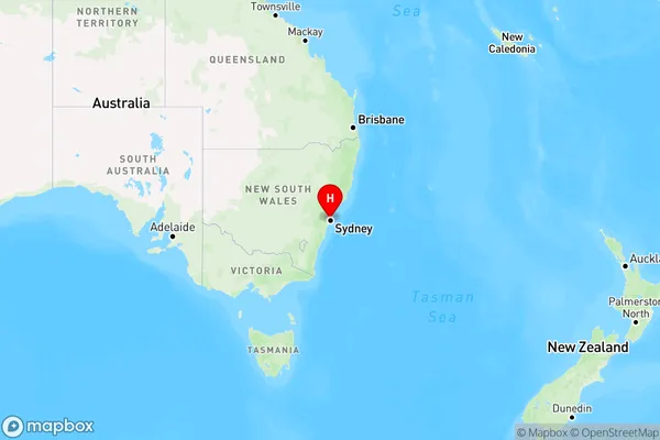
Northwood Area, Northwood Postcode(2066) & Map in Northwood, Sydney - North Sydney and Hornsby, NSW
Northwood Area, Northwood Postcode(2066) & Map in Northwood, Sydney - North Sydney and Hornsby, NSW, AU, Postcode: 2066
Northwood, Lane Cove - Greenwich, Chatswood - Lane Cove, Sydney - North Sydney and Hornsby, New South Wales, Australia, 2066
Northwood Postcode
Area Name
NorthwoodNorthwood Suburb Area Map (Polygon)

Northwood Introduction
Northwood is a suburb in Sydney's North Shore, located between the suburbs of North Sydney and Hornsby. It is known for its leafy streets, well-maintained homes, and convenient location, with easy access to the city and the northern beaches. Northwood has a vibrant community with a mix of young professionals and families, and there are a variety of shops, restaurants, and parks in the area.State Name
City or Big Region
District or Regional Area
Suburb Name
Northwood Region Map

Country
Main Region in AU
R1Coordinates
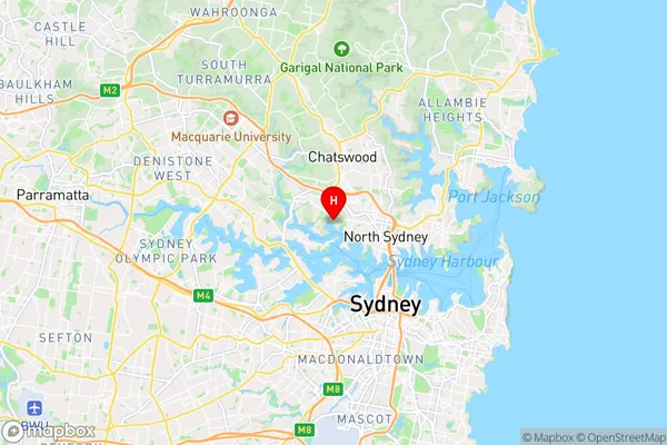
-33.82813,151.17619 (latitude/longitude)Northwood Area Map (Street)

Longitude
151.160912Latitude
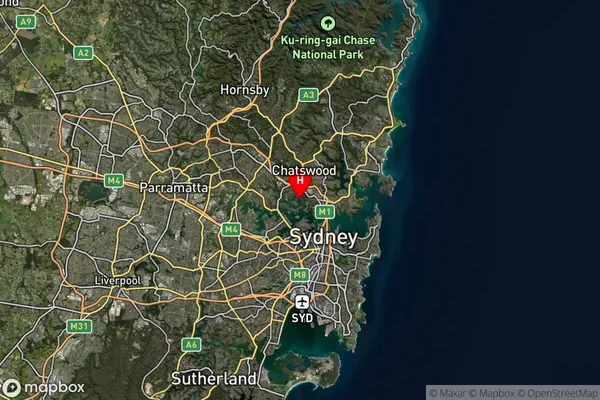
-33.818641Northwood Suburb Map (Satellite)

Distances
The distance from Northwood, Sydney - North Sydney and Hornsby, NSW to AU Greater Capital CitiesSA1 Code 2011
12101140025SA1 Code 2016
12101140025SA2 Code
121011400SA3 Code
12101SA4 Code
121RA 2011
1RA 2016
1MMM 2015
1MMM 2019
1Charge Zone
N1LGA Region
Lane CoveLGA Code
14700Electorate
Bennelong