North Willoughby Area, North Willoughby Postcode(2068) & Map in North Willoughby, Sydney - North Sydney and Hornsby, NSW
North Willoughby Area, North Willoughby Postcode(2068) & Map in North Willoughby, Sydney - North Sydney and Hornsby, NSW, AU, Postcode: 2068
North Willoughby, Willoughby - Castle Cove - Northbridge, Chatswood - Lane Cove, Sydney - North Sydney and Hornsby, New South Wales, Australia, 2068
North Willoughby Postcode
Area Name
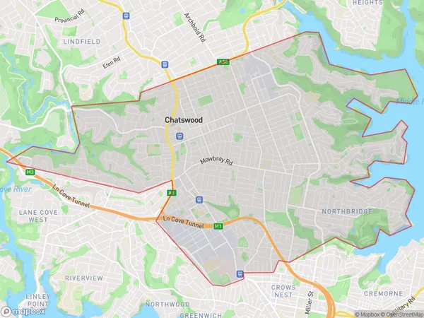
North WilloughbyNorth Willoughby Suburb Area Map (Polygon)
North Willoughby Introduction
North Willoughby is a suburb in Sydney, Australia, located in the North Shore region. It is known for its scenic views, including the North Head National Park and the Sydney Harbour Bridge. The suburb is home to a variety of residential properties, including apartments, houses, and townhouses. North Willoughby is also home to several schools, including North Sydney Boys High School and North Sydney Girls High School.State Name
City or Big Region
District or Regional Area
Suburb Name
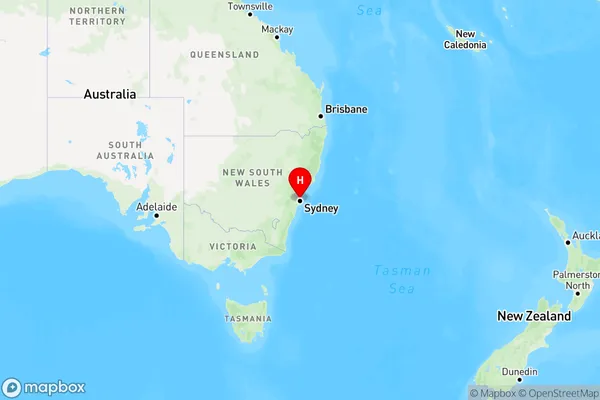
North Willoughby Region Map
Country
Main Region in AU
R1Coordinates
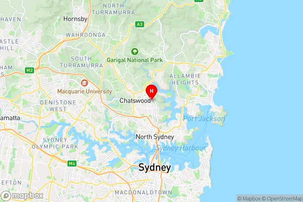
-33.795,151.204 (latitude/longitude)North Willoughby Area Map (Street)
Longitude
151.1973964Latitude
-33.79634382North Willoughby Elevation
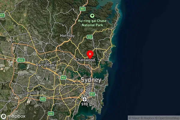
about 76.94 meters height above sea level (Altitude)North Willoughby Suburb Map (Satellite)
Distances
The distance from North Willoughby, Sydney - North Sydney and Hornsby, NSW to AU Greater Capital CitiesSA1 Code 2011
12101140245SA1 Code 2016
12101140245SA2 Code
121011402SA3 Code
12101SA4 Code
121RA 2011
1RA 2016
1MMM 2015
1MMM 2019
1Charge Zone
N1LGA Region
WilloughbyLGA Code
18250Electorate
Bennelong