Kensington (NSW) Suburbs & Region, Kensington (NSW) Map & Postcodes
Kensington (NSW) Suburbs & Region, Kensington (NSW) Map & Postcodes in Kensington (NSW), Eastern Suburbs South, Sydney Eastern Suburbs, NSW, AU
Kensington (NSW) Region
Region Name
Kensington (NSW) (NSW, AU)Kensington (NSW) Area
2.64 square kilometers (2.64 ㎢)Postal Codes
1465, 1466, 2033, and 2052 (In total, there are 4 postcodes in Kensington (NSW).)Kensington (NSW) Introduction
Kensington is a suburb in Sydney's Eastern Suburbs, located 5 kilometers south of the CBD. It is known for its vibrant street life, with a mix of independent shops, cafes, and restaurants. Kensington Park is a popular recreational area with a beautiful lake, walking trails, and picnic spots. The suburb is also home to the Royal Prince Alfred Hospital and several prestigious universities, including the University of New South Wales and the University of Sydney.Australia State
City or Big Region
Greater Capital City
Greater Sydney (1GSYD)District or Regional Area
Suburb Name
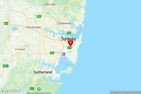
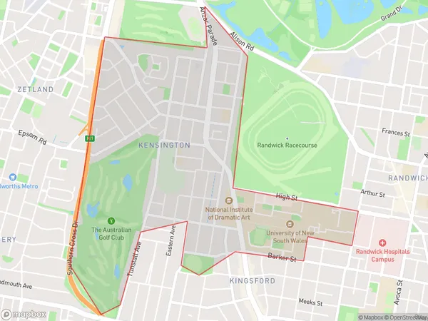
Kensington (NSW) Region Map

Kensington (NSW) Postcodes / Zip Codes
Kensington (NSW) Suburbs
Kensington (NSW) full address
Kensington (NSW), Eastern Suburbs South, Sydney Eastern Suburbs, New South Wales, NSW, Australia, SaCode: 118021564Country
Kensington (NSW), Eastern Suburbs South, Sydney Eastern Suburbs, New South Wales, NSW, Australia, SaCode: 118021564
Kensington (NSW) Suburbs & Region, Kensington (NSW) Map & Postcodes has 0 areas or regions above, and there are 4 Kensington (NSW) suburbs below. The sa2code for the Kensington (NSW) region is 118021564. Its latitude and longitude coordinates are -33.9096,151.219. Kensington (NSW) area belongs to Australia's greater capital city Greater Sydney.
Kensington (NSW) Suburbs & Localities
1. Kensington
2. Unsw Sydney
3. Kensington
4. Unsw Sydney
