Sydney Eastern Suburbs Suburbs & Region, Sydney Eastern Suburbs Map & Postcodes
Sydney Eastern Suburbs Suburbs & Region, Sydney Eastern Suburbs Map & Postcodes in Sydney Eastern Suburbs, NSW, AU
Sydney Eastern Suburbs Region
Region Name
Sydney Eastern Suburbs (NSW, AU)Sydney Eastern Suburbs Area
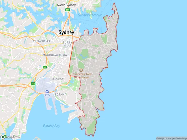
57.73 square kilometers (57.73 ㎢)Sydney Eastern Suburbs Suburb Area Map (Polygon)
Sydney Eastern Suburbs Introduction
Sydney Eastern Suburbs is a suburb located in the Eastern Suburbs of Sydney, New South Wales, Australia. It is known for its leafy streets, vibrant cafes, and beautiful parks. The suburb is home to a diverse population and is popular with families, professionals, and students. It is located approximately 10 kilometers east of Sydney's central business district and is bordered by the suburbs of Bondi Junction, Coogee, and Randwick. Some of the notable landmarks in the area include the Royal Botanic Gardens, the Sydney Opera House, and the Bondi Beach. The suburb is well-connected to public transportation, with several bus and train lines servicing the area.Australia State
City or Big Region
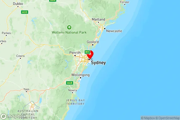
Sydney Eastern Suburbs Region Map
Sydney Eastern Suburbs Suburbs
Eastern Suburbs North
Eastern Suburbs South
Sydney Eastern Suburbs full address
Sydney Eastern Suburbs, New South Wales, NSW, Australia, SaCode: 118Country
Sydney Eastern Suburbs, New South Wales, NSW, Australia, SaCode: 118
Sydney Eastern Suburbs Suburbs & Region, Sydney Eastern Suburbs Map & Postcodes has 2 areas or regions above, and there are 0 Sydney Eastern Suburbs suburbs below. The sa4code for the Sydney Eastern Suburbs region is 118. Its latitude and longitude coordinates are -33.8865,151.242.