Unsw Sydney Area, Unsw Sydney Postcode(2052) & Map in Unsw Sydney, Sydney - Eastern Suburbs, NSW
Unsw Sydney Area, Unsw Sydney Postcode(2052) & Map in Unsw Sydney, Sydney - Eastern Suburbs, NSW, AU, Postcode: 2052
Unsw Sydney, Kensington (NSW), Eastern Suburbs - South, Sydney - Eastern Suburbs, New South Wales, Australia, 2052
Unsw Sydney Postcode
Area Name
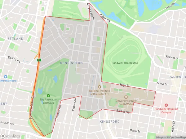
Unsw SydneyUnsw Sydney Suburb Area Map (Polygon)

Unsw Sydney Introduction
Unsw Sydney is located in the Eastern Suburbs of Sydney, New South Wales, Australia. It is a public research university and one of Australia's leading universities. The university offers a wide range of courses and programs across various disciplines, including arts, sciences, business, law, and engineering. Unsw Sydney has a strong reputation for its research and innovation, and it is home to several research institutes and centers of excellence. The university also has a strong focus on sustainability and social responsibility, and it has implemented numerous initiatives to reduce its environmental footprint and promote social inclusion and equity.State Name
City or Big Region
District or Regional Area
Suburb Name
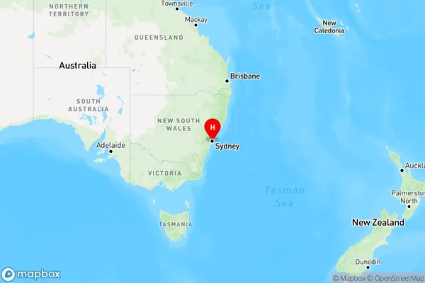
Unsw Sydney Region Map

Country
Main Region in AU
R1Coordinates
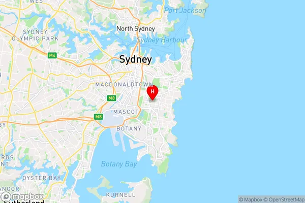
-33.917347,151.2312675 (latitude/longitude)Unsw Sydney Area Map (Street)

Longitude
151.234417Latitude
-33.906561Unsw Sydney Elevation
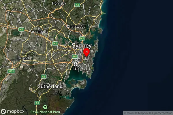
about 39.01 meters height above sea level (Altitude)Unsw Sydney Suburb Map (Satellite)

Distances
The distance from Unsw Sydney, Sydney - Eastern Suburbs, NSW to AU Greater Capital CitiesSA1 Code 2011
11802134940SA1 Code 2016
11802156418SA2 Code
118021564SA3 Code
11802SA4 Code
118RA 2011
1RA 2016
1MMM 2015
1MMM 2019
1Charge Zone
N1LGA Region
SydneyLGA Code
17200Electorate
Barton