Kensington Area, Kensington Postcode(1465) & Map in Kensington, Sydney - Eastern Suburbs, NSW
Kensington Area, Kensington Postcode(1465) & Map in Kensington, Sydney - Eastern Suburbs, NSW, AU, Postcode: 1465
Kensington, Kensington (NSW), Eastern Suburbs - South, Sydney - Eastern Suburbs, New South Wales, Australia, 1465
Kensington Postcode
Area Name
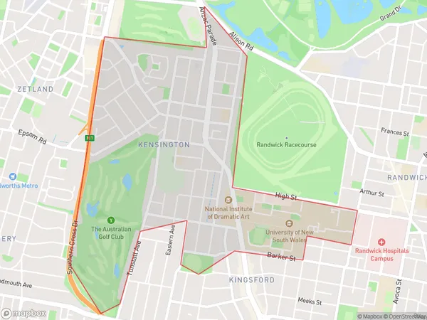
KensingtonKensington Suburb Area Map (Polygon)

Kensington Introduction
Kensington is a suburb in Sydney's Eastern Suburbs, known for its vibrant street art, cafes, and boutique shops. It is bordered by Kingsford, Surry Hills, and Potts Points and is home to many students and young professionals. The suburb has a rich cultural heritage and is home to several historic buildings, including the Royal Alexandra Hospital and the Prince of Wales Hospital.State Name
City or Big Region
District or Regional Area
Suburb Name
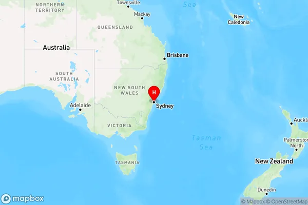
Kensington Region Map

Country
Main Region in AU
R1Coordinates
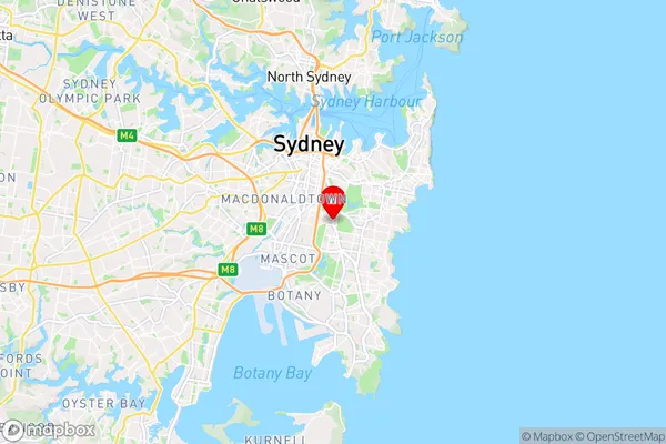
-33.910021,151.2232749 (latitude/longitude)Kensington Area Map (Street)

Longitude
151.140735Latitude
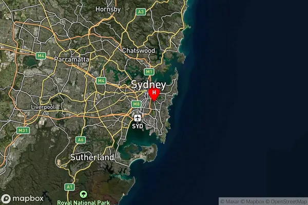
-33.888549Kensington Suburb Map (Satellite)

Distances
The distance from Kensington, Sydney - Eastern Suburbs, NSW to AU Greater Capital CitiesSA1 Code 2011
11802134937SA1 Code 2016
11802156411SA2 Code
118021564SA3 Code
11802SA4 Code
118RA 2011
1RA 2016
1MMM 2015
1MMM 2019
1Charge Zone
N1LGA Region
Inner WestLGA Code
14170Electorate
Banks