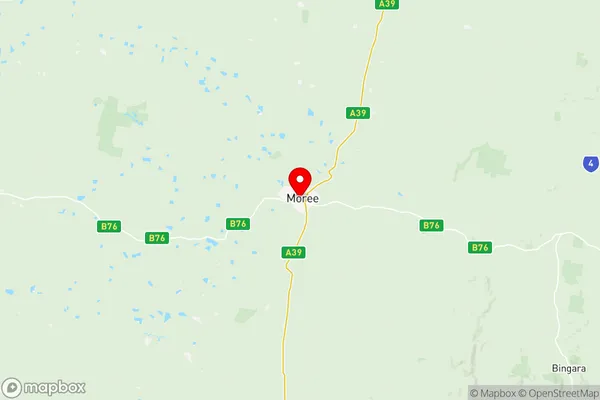
Moree Narrabri Suburbs & Region, Moree Narrabri Map & Postcodes
Moree Narrabri Suburbs & Region, Moree Narrabri Map & Postcodes in Moree Narrabri, New England and North West, NSW, AU
Moree Narrabri Region
Region Name
Moree Narrabri (NSW, AU)Moree Narrabri Area
32023 square kilometers (32,023 ㎢)Postal Codes
2356, from 2386 to 2388, from 2397 to 2401, 2405, 2408, 2409, 2411, and 2833 (In total, there are 14 postcodes in Moree Narrabri.)Moree Narrabri Introduction
Moree Narrabri is a town in the Narrabri Shire of New South Wales, Australia. It is located on the banks of the Namoi River, approximately 550 kilometers northwest of Sydney. The town is known for its rich agricultural industry, with cotton being the primary crop grown in the area. The town has a population of around 4,000 people and is home to a number of historic buildings, including the Moree War Memorial and the Moree Courthouse. The nearby Moree Plains National Park is a popular destination for tourists, offering a range of outdoor activities such as hiking, camping, and wildlife watching.Australia State
City or Big Region
District or Regional Area
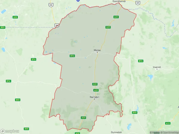
Moree Narrabri Region Map

Moree Narrabri Postcodes / Zip Codes
Moree Narrabri Suburbs
Moree Narrabri full address
Moree Narrabri, New England and North West, New South Wales, NSW, Australia, SaCode: 11003Country
Moree Narrabri, New England and North West, New South Wales, NSW, Australia, SaCode: 11003
Moree Narrabri Suburbs & Region, Moree Narrabri Map & Postcodes has 3 areas or regions above, and there are 44 Moree Narrabri suburbs below. The sa3code for the Moree Narrabri region is 11003. Its latitude and longitude coordinates are -29.4658,149.834.
Moree Narrabri Suburbs & Localities
1. Gwabegar
2. Merah North
3. Bullarah
4. Blue Nobby
5. Croppa Creek
6. Burren Junction
7. Nowley
8. Rowena
9. Cuttabri
10. Pilliga
11. Spring Plains
12. Yarrie Lake
13. Bellata
14. Gurley
15. Ashley
16. Crooble
17. Yarraman
18. Boomi
19. Garah
20. Mungle
21. Boonal
22. Drildool
23. Boolcarroll
24. The Pilliga
25. Wee Waa
26. Mallowa
27. Terry Hie Hie
28. Gravesend
29. Bulyeroi
30. Jews Lagoon
31. Jews Lagoon
32. Millie
33. Thalaba
34. Biniguy
35. Milguy
36. Pallamallawa
37. Moree
38. Moree East
39. Tikitere
40. Tulloona
41. North Star
42. Yallaroi
43. Boggabilla
44. Collarenebri
