Blue Nobby Area, Blue Nobby Postcode(2408) & Map in Blue Nobby, New England and North West, NSW
Blue Nobby Area, Blue Nobby Postcode(2408) & Map in Blue Nobby, New England and North West, NSW, AU, Postcode: 2408
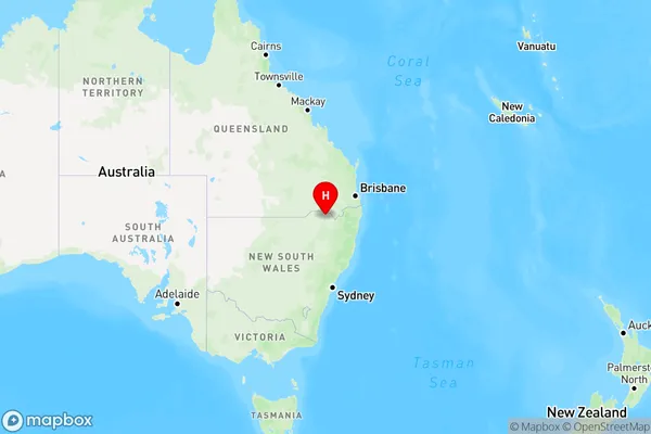
Blue Nobby, Inverell Region - West, Inverell - Tenterfield, New England and North West, New South Wales, Australia, 2408
Blue Nobby Postcode
Area Name
Blue NobbyBlue Nobby Suburb Area Map (Polygon)

Blue Nobby Introduction
Blue Nobby is a mountain in the Blue Mountains of New South Wales, Australia. It is part of the Nobby Range and has an elevation of 1,228 meters. The mountain is known for its scenic views and is a popular destination for hiking and rock climbing.State Name
City or Big Region
District or Regional Area
Suburb Name
Blue Nobby Region Map
Country
Main Region in AU
R3Coordinates
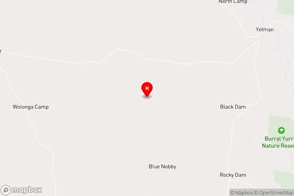
-28.9875,150.614 (latitude/longitude)Blue Nobby Area Map (Street)
Longitude
150.5788791Latitude
-29.02809007Blue Nobby Elevation
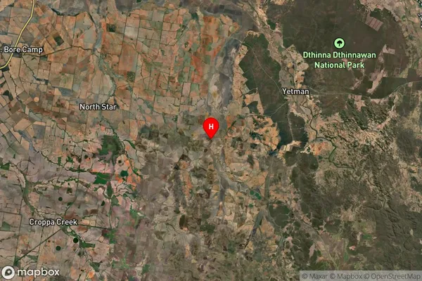
about 307.53 meters height above sea level (Altitude)Blue Nobby Suburb Map (Satellite)
Distances
The distance from Blue Nobby, New England and North West, NSW to AU Greater Capital CitiesSA1 Code 2011
11002119309SA1 Code 2016
11002119309SA2 Code
110021193SA3 Code
11002SA4 Code
110RA 2011
3RA 2016
3MMM 2015
5MMM 2019
5Charge Zone
N2LGA Region
GwydirLGA Code
13660Electorate
Parkes