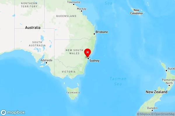
Milguy Area, Milguy Postcode(2399) & Map in Milguy, Sydney - Baulkham Hills and Hawkesbury, NSW
Milguy Area, Milguy Postcode(2399) & Map in Milguy, Sydney - Baulkham Hills and Hawkesbury, NSW, AU, Postcode: 2399
Milguy, Castle Hill - Central, Baulkham Hills, Sydney - Baulkham Hills and Hawkesbury, New South Wales, Australia, 2399
Milguy Postcode
Area Name
MilguyMilguy Suburb Area Map (Polygon)

Milguy Introduction
Milguy is a suburb located in the Hills District of Sydney, in the state of New South Wales, Australia. It is situated 33 kilometers northwest of Sydney's central business district and is part of the Greater Western Sydney region. The suburb is named after the Milguy family, who were early landholders in the area. Milguy is primarily a residential area with a mix of detached houses and apartments. It has a small shopping center with a supermarket, cafes, and other retail outlets. The suburb also has a community center, a park, and several sports facilities, including a cricket club and a tennis court.State Name
City or Big Region
District or Regional Area
Suburb Name
Milguy Region Map

Country
Main Region in AU
R3Coordinates
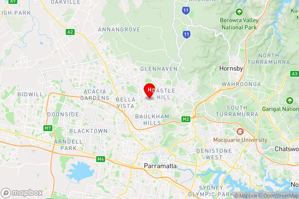
-33.7378,150.988 (latitude/longitude)Milguy Area Map (Street)

Longitude
150.222662Latitude
-29.409325Milguy Elevation
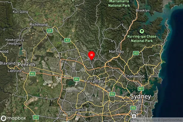
about 264.17 meters height above sea level (Altitude)Milguy Suburb Map (Satellite)

Distances
The distance from Milguy, Sydney - Baulkham Hills and Hawkesbury, NSW to AU Greater Capital CitiesSA1 Code 2011
11501129217SA1 Code 2016
11501155304SA2 Code
115011553SA3 Code
11501SA4 Code
115RA 2011
1RA 2016
1MMM 2015
1MMM 2019
1Charge Zone
N2LGA Region
GwydirLGA Code
13660Electorate
Parkes