Jews Lagoon Area, Jews Lagoon Postcode(2388) & Map in Jews Lagoon, New England and North West, NSW
Jews Lagoon Area, Jews Lagoon Postcode(2388) & Map in Jews Lagoon, New England and North West, NSW, AU, Postcode: 2388
Jews Lagoon, Narrabri Region, Moree - Narrabri, New England and North West, New South Wales, Australia, 2388
Jews Lagoon Postcode
Area Name
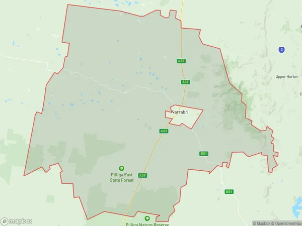
Jews LagoonJews Lagoon Suburb Area Map (Polygon)

Jews Lagoon Introduction
Jews Lagoon is a coastal lagoon located in the New England and North West regions of New South Wales, Australia. It is a popular spot for swimming, fishing, and boating and is known for its beautiful natural surroundings and crystal-clear waters. The lagoon is surrounded by lush green forests and is home to a variety of wildlife, including birds, fish, and reptiles. It is also a popular destination for bushwalking and camping and has several walking trails and campgrounds nearby.State Name
City or Big Region
District or Regional Area
Suburb Name
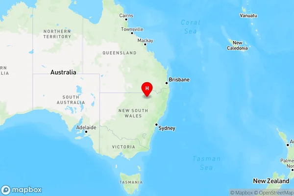
Jews Lagoon Region Map

Country
Main Region in AU
R3Coordinates
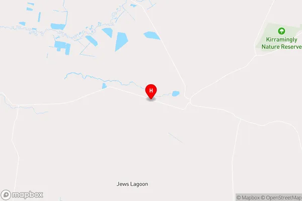
-29.8161121,149.5099622 (latitude/longitude)Jews Lagoon Area Map (Street)

Longitude
149.001543Latitude
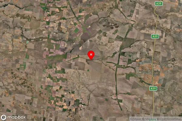
-30.427329Jews Lagoon Suburb Map (Satellite)

Distances
The distance from Jews Lagoon, New England and North West, NSW to AU Greater Capital CitiesSA1 Code 2011
11003119804SA1 Code 2016
11003119804SA2 Code
110031198SA3 Code
11003SA4 Code
110RA 2011
4RA 2016
4MMM 2015
6MMM 2019
6Charge Zone
N2LGA Region
NarrabriLGA Code
15750Electorate
Parkes