Moree Region Suburbs & Region, Moree Region Map & Postcodes
Moree Region Suburbs & Region, Moree Region Map & Postcodes in Moree Region, Moree Narrabri, New England and North West, NSW, AU
Moree Region Region
Region Name
Moree Region (NSW, AU)Moree Region Area
19807 square kilometers (19,807 ㎢)Moree Region Suburb Area Map (Polygon)

Moree Region Introduction
Moree Region is a local government area in the New England and North West region of New South Wales, Australia. It is located in the north-east of the state, bordering Queensland and the Northern Territory. The region covers an area of 10,573 square kilometers and has a population of approximately 102,000 people. The major towns in the region include Moree, Walgett, and Narrabri. The region is known for its agriculture, particularly for cotton and wheat farming. It also has a number of national parks and reserves, including the Moree Plains National Park and the Walgett Wetlands.Australia State
City or Big Region
Greater Capital City
Rest of NSW (1RNSW)District or Regional Area
Suburb Name
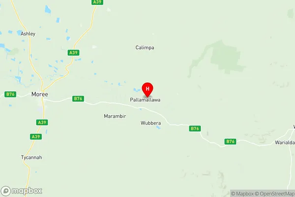
Moree Region Region Map
Moree Region Suburbs
Moree Region full address
Moree Region, Moree Narrabri, New England and North West, New South Wales, NSW, Australia, SaCode: 110031196Country
Moree Region, Moree Narrabri, New England and North West, New South Wales, NSW, Australia, SaCode: 110031196
Moree Region Suburbs & Region, Moree Region Map & Postcodes has 0 areas or regions above, and there are 0 Moree Region suburbs below. The sa2code for the Moree Region region is 110031196. Its latitude and longitude coordinates are -29.4722,150.142. Moree Region area belongs to Australia's greater capital city Rest of NSW.