Tenterfield Suburbs & Region, Tenterfield Map & Postcodes
Tenterfield Suburbs & Region, Tenterfield Map & Postcodes in Tenterfield, Wagga Wagga, Riverina, NSW, AU
Tenterfield Region
Region Name
Tenterfield (NSW, AU)Tenterfield Area
7324 square kilometers (7,324 ㎢)Postal Codes
2371, 2372, 2424, 2469, 2475, 2476, 2729, 4377, 4380, and 4383 (In total, there are 10 postcodes in Tenterfield.)Tenterfield Introduction
Tenterfield is a town in the Riverina region of New South Wales, Australia. It is situated on the banks of the Macquarie River and is known for its historic architecture, including the Tenterfield Hotel and the Tenterfield Post Office. The town is also home to the Tenterfield Show, one of the largest country shows in Australia, which attracts visitors from all over the region. The town has a population of around 5,000 people and is a popular tourist destination.Australia State
City or Big Region
Greater Capital City
Rest of NSW (1RNSW)District or Regional Area
Suburb Name
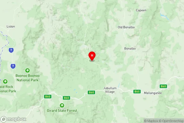
Tenterfield Region Map

Tenterfield Postcodes / Zip Codes
Tenterfield Suburbs
Tenterfield full address
Tenterfield, Wagga Wagga, Riverina, New South Wales, NSW, Australia, SaCode: 110021194Country
Tenterfield, Wagga Wagga, Riverina, New South Wales, NSW, Australia, SaCode: 110021194
Tenterfield Suburbs & Region, Tenterfield Map & Postcodes has 0 areas or regions above, and there are 57 Tenterfield suburbs below. The sa2code for the Tenterfield region is 110021194. Its latitude and longitude coordinates are -28.7826,152.448. Tenterfield area belongs to Australia's greater capital city Rest of NSW.
Tenterfield Suburbs & Localities
1. Stannum
2. Boonoo Boonoo
3. Bungulla
4. Liston
5. Pyes Creek
6. Rivertree
7. Timbarra
8. Bluff Rock
9. Bolivia
10. Dumaresq Valley
11. Tarban
12. Tenterfield
13. Woodside
14. Back Creek
15. Billyrimba
16. Bryans Gap
17. Mingoola
18. Rocky River
19. Sandy Hill
20. Steinbrook
21. The Scrub
22. Willsons Downfall
23. Woodside
24. Torrington
25. Black Swamp
26. Bookookoorara
27. Boorook
28. Carrolls Creek
29. Cullendore
30. Forest Land
31. Mole River
32. Sandy Flat
33. Silent Grove
34. Sunnyside
35. Wylie Creek
36. Drake
37. Pretty Gully
38. Tabulam
39. Acacia Creek
40. Acacia Plateau
41. Legume
42. Boomoodeerie
43. Drake Village
44. Wallaby Creek
45. Koreelah
46. Lower Acacia Creek
47. Old Koreelah
48. Upper Tooloom
49. Urbenville
50. Clover Park
51. Beaury Creek
52. Back Creek
53. Maryland
54. Ruby Creek
55. Amosfield
56. Undercliffe
57. Jennings
