Drake Area, Drake Postcode(2469) & Map in Drake, New England and North West, NSW
Drake Area, Drake Postcode(2469) & Map in Drake, New England and North West, NSW, AU, Postcode: 2469
Drake, Tenterfield, Inverell - Tenterfield, New England and North West, New South Wales, Australia, 2469
Drake Postcode
Area Name
DrakeDrake Suburb Area Map (Polygon)

Drake Introduction
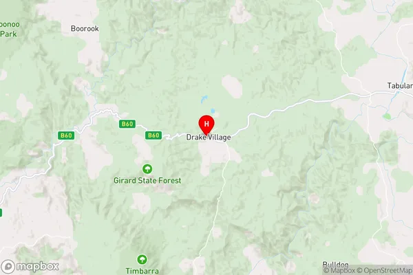
Drake is a small township in the North West Slopes region of New South Wales, Australia. It is located in the Walgett Shire local government area and is named after the explorer Sir Francis Drake. The town is a popular tourist destination and is known for its scenic surroundings, including the Drake River and the nearby Mount Werong State Conservation Area.State Name
City or Big Region
District or Regional Area
Suburb Name
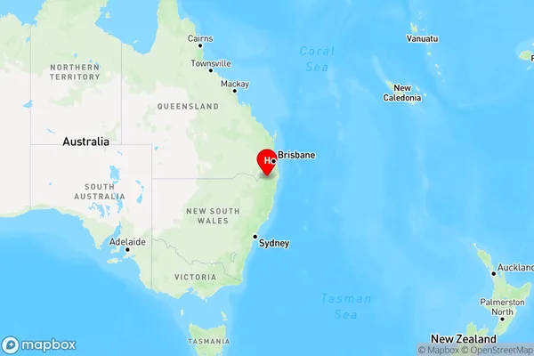
Drake Region Map
Country
Main Region in AU
R3Coordinates
-28.9269577,152.3726514 (latitude/longitude)Drake Area Map (Street)
Longitude
153.002402Latitude
-29.338403Drake Elevation
about 89.42 meters height above sea level (Altitude)Drake Suburb Map (Satellite)

Distances
The distance from Drake, New England and North West, NSW to AU Greater Capital CitiesSA1 Code 2011
11002119406SA1 Code 2016
11002119406SA2 Code
110021194SA3 Code
11002SA4 Code
110RA 2011
3RA 2016
3MMM 2015
5MMM 2019
5Charge Zone
N2LGA Region
Richmond ValleyLGA Code
16610Electorate
Page