Bolivia Area, Bolivia Postcode(2372) & Map in Bolivia, New England and North West, NSW
Bolivia Area, Bolivia Postcode(2372) & Map in Bolivia, New England and North West, NSW, AU, Postcode: 2372
Bolivia, Tenterfield, Inverell - Tenterfield, New England and North West, New South Wales, Australia, 2372
Bolivia Postcode
Area Name
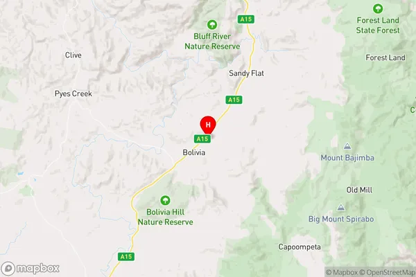
BoliviaBolivia Suburb Area Map (Polygon)

Bolivia Introduction
Bolivia is a small town in New England and North West, NSW, AU. It is located in the Macleay Valley region and is surrounded by beautiful countryside. The town has a population of around 200 people and is known for its friendly community and historic buildings. The town has a primary school, a post office, a general store, and a community hall. The surrounding area is popular for farming, with crops including cotton, wheat, and sheep being grown. The town also has a number of scenic walks and trails, including the Bolivia Walking Track, which follows the Macleay River.State Name
City or Big Region
District or Regional Area
Suburb Name
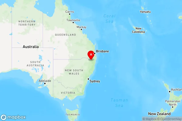
Bolivia Region Map
Country
Main Region in AU
R3Coordinates
-29.2871969,151.9678515 (latitude/longitude)Bolivia Area Map (Street)
Longitude
151.999661Latitude
-29.083319Bolivia Elevation
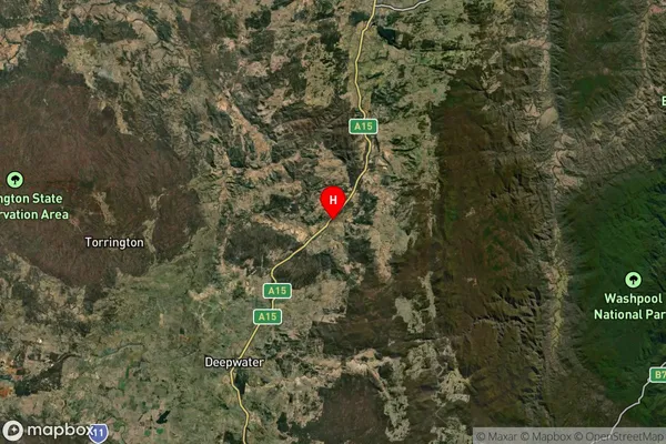
about 979.01 meters height above sea level (Altitude)Bolivia Suburb Map (Satellite)
Distances
The distance from Bolivia, New England and North West, NSW to AU Greater Capital CitiesSA1 Code 2011
11002119411SA1 Code 2016
11002119411SA2 Code
110021194SA3 Code
11002SA4 Code
110RA 2011
3RA 2016
3MMM 2015
5MMM 2019
5Charge Zone
N2LGA Region
TenterfieldLGA Code
17400Electorate
Wright