Beaury Creek Area, Beaury Creek Postcode(2475) & Map in Beaury Creek, New England and North West, NSW
Beaury Creek Area, Beaury Creek Postcode(2475) & Map in Beaury Creek, New England and North West, NSW, AU, Postcode: 2475
Beaury Creek, Tenterfield, Inverell - Tenterfield, New England and North West, New South Wales, Australia, 2475
Beaury Creek Postcode
Area Name
Beaury CreekBeaury Creek Suburb Area Map (Polygon)

Beaury Creek Introduction
Beaury Creek is a small rural town in the Macleay Valley region of New South Wales, Australia. It is located about 45 minutes south of Kempsey and 2 hours north of Sydney. The town is surrounded by beautiful countryside and is known for its agricultural industry, including cotton farming and cattle grazing. The town has a population of around 1,000 people and has a primary school, a post office, a general store, and a community hall.State Name
City or Big Region
District or Regional Area
Suburb Name
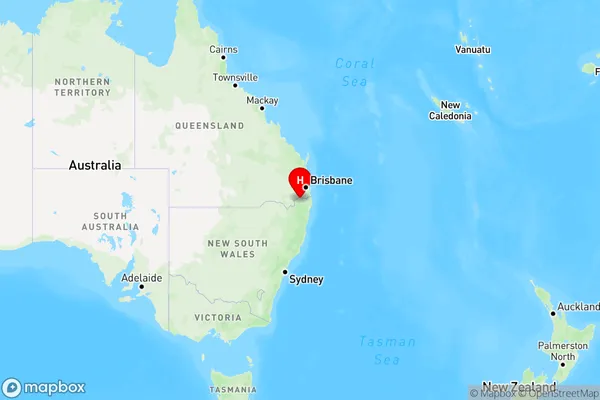
Beaury Creek Region Map
Country
Main Region in AU
R3Coordinates
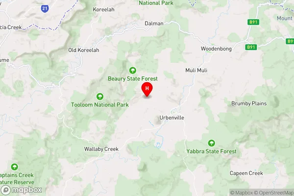
-28.4522,152.515 (latitude/longitude)Beaury Creek Area Map (Street)
Longitude
152.388341Latitude
-28.546257Beaury Creek Elevation
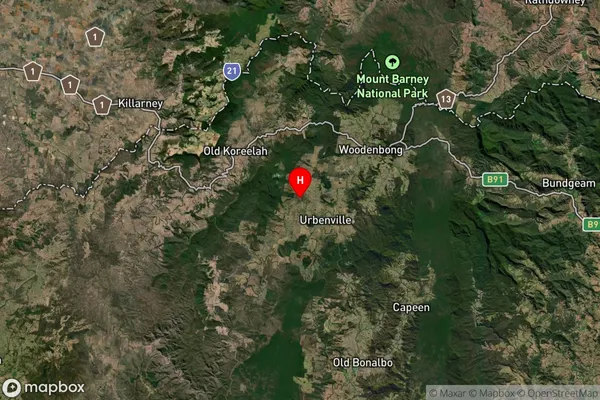
about 505.50 meters height above sea level (Altitude)Beaury Creek Suburb Map (Satellite)
Distances
The distance from Beaury Creek, New England and North West, NSW to AU Greater Capital CitiesSA1 Code 2011
11002119409SA1 Code 2016
11002119409SA2 Code
110021194SA3 Code
11002SA4 Code
110RA 2011
3RA 2016
3MMM 2015
5MMM 2019
5Charge Zone
N2LGA Region
KyogleLGA Code
14550Electorate
Page