Wylie Creek Area, Wylie Creek Postcode(2372) & Map in Wylie Creek, New England and North West, NSW
Wylie Creek Area, Wylie Creek Postcode(2372) & Map in Wylie Creek, New England and North West, NSW, AU, Postcode: 2372
Wylie Creek, Tenterfield, Inverell - Tenterfield, New England and North West, New South Wales, Australia, 2372
Wylie Creek Postcode
Area Name
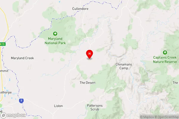
Wylie CreekWylie Creek Suburb Area Map (Polygon)

Wylie Creek Introduction
Wylie Creek is a rural locality in the Macarthur region of New South Wales, Australia. It is located in the Camden Council area and is named after the Wylie Creek that flows through it. The town has a population of around 200 people and is known for its agricultural industry, including cotton farming and poultry production. The area also has a number of historic buildings, including the Wylie Creek railway station and the Wylie Creek Hotel.State Name
City or Big Region
District or Regional Area
Suburb Name
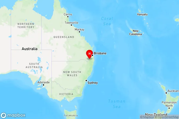
Wylie Creek Region Map
Country
Main Region in AU
R3Coordinates
-28.5513252,152.1557046 (latitude/longitude)Wylie Creek Area Map (Street)
Longitude
151.999661Latitude
-29.083319Wylie Creek Elevation
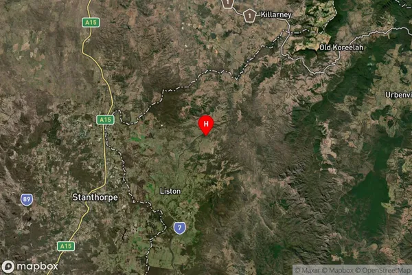
about 979.01 meters height above sea level (Altitude)Wylie Creek Suburb Map (Satellite)
Distances
The distance from Wylie Creek, New England and North West, NSW to AU Greater Capital CitiesSA1 Code 2011
11002119408SA1 Code 2016
11002119408SA2 Code
110021194SA3 Code
11002SA4 Code
110RA 2011
3RA 2016
3MMM 2015
5MMM 2019
5Charge Zone
N2LGA Region
TenterfieldLGA Code
17400Electorate
Wright