Lithgow Suburbs & Region, Lithgow Map & Postcodes
Lithgow Suburbs & Region, Lithgow Map & Postcodes in Lithgow, Blue Mountains, Sydney Outer West and Blue Mountains, NSW, AU
Lithgow Region
Region Name
Lithgow (NSW, AU)Lithgow Area
119.98 square kilometers (119.98 ㎢)Postal Codes
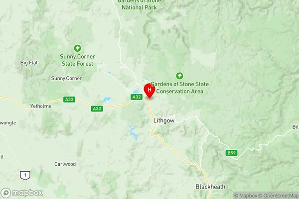
2790 (In total, there are 1 postcodes in Lithgow.)Lithgow Suburb Area Map (Polygon)

Lithgow Introduction
Lithgow is a city in the Blue Mountains region of New South Wales, Australia. It is located 65 kilometers west of Sydney and is part of the Greater Western Sydney region. Lithgow is known for its coal mining heritage and is surrounded by stunning natural scenery, including the Blue Mountains National Park. The town has a population of around 30,000 people and is home to a variety of attractions, including the Lithgow Workers' Club, the Lithgow Museum, and the Lithgow Showground.Australia State
City or Big Region
Greater Capital City
Rest of NSW (1RNSW)District or Regional Area
Suburb Name
Lithgow Region Map
Lithgow Postcodes / Zip Codes
Lithgow Suburbs
Lithgow full address
Lithgow, Blue Mountains, Sydney Outer West and Blue Mountains, New South Wales, NSW, Australia, SaCode: 103031070Country
Lithgow, Blue Mountains, Sydney Outer West and Blue Mountains, New South Wales, NSW, Australia, SaCode: 103031070
Lithgow Suburbs & Region, Lithgow Map & Postcodes has 0 areas or regions above, and there are 19 Lithgow suburbs below. The sa2code for the Lithgow region is 103031070. Its latitude and longitude coordinates are -33.4333,150.117. Lithgow area belongs to Australia's greater capital city Rest of NSW.
Lithgow Suburbs & Localities
1. Hassans Walls
2. Lithgow
3. Sheedys Gully
4. South Bowenfels
5. Vale Of Clwydd
6. Bowenfels
7. South Littleton
8. Cobar Park
9. Hermitage Flat
10. Marrangaroo
11. Mckellars Park
12. Oaky Park
13. Pottery Estate
14. State Mine Gully
15. Corney Town
16. Doctors Gap
17. Lithgow Dc
18. Littleton
19. Morts Estate