Lithgow Dc Area, Lithgow Dc Postcode(2790) & Map in Lithgow Dc, Central West, NSW
Lithgow Dc Area, Lithgow Dc Postcode(2790) & Map in Lithgow Dc, Central West, NSW, AU, Postcode: 2790
Lithgow Dc, Lithgow, Lithgow - Mudgee, Central West, New South Wales, Australia, 2790
Lithgow Dc Postcode
Area Name
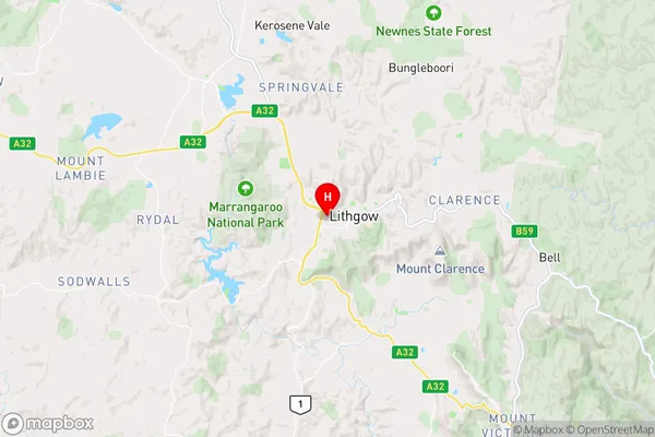
Lithgow DcLithgow Dc Suburb Area Map (Polygon)

Lithgow Dc Introduction
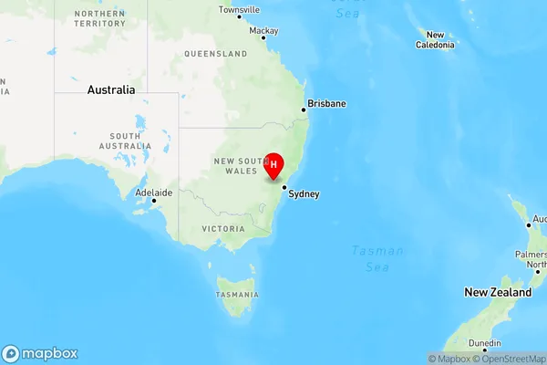
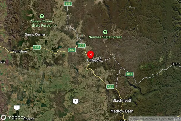
Lithgow DC is a local government area in the Central West region of New South Wales, Australia. It is located in the Blue Mountains and is home to the town of Lithgow. The area was first established as a municipality in 1879 and was later incorporated into a district council in 1906. Lithgow DC covers an area of approximately 1,100 square kilometers and has a population of around 30,000 people.State Name
City or Big Region
District or Regional Area
Suburb Name
Lithgow Dc Region Map
Country
Main Region in AU
R3Coordinates
-33.4829,150.14 (latitude/longitude)Lithgow Dc Area Map (Street)
Longitude
150.356874Latitude
-33.310653Lithgow Dc Elevation
about 1068.46 meters height above sea level (Altitude)Lithgow Dc Suburb Map (Satellite)
Distances
The distance from Lithgow Dc, Central West, NSW to AU Greater Capital CitiesSA1 Code 2011
10303107028SA1 Code 2016
10303107028SA2 Code
103031070SA3 Code
10303SA4 Code
103RA 2011
2RA 2016
2MMM 2015
4MMM 2019
4Charge Zone
N2LGA Region
LithgowLGA Code
14870Electorate
Calare