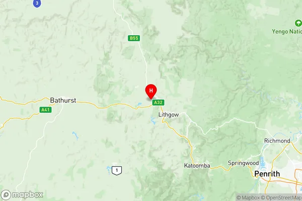
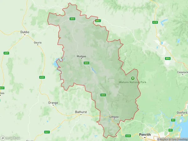
Lithgow Mudgee Suburbs & Region, Lithgow Mudgee Map & Postcodes
Lithgow Mudgee Suburbs & Region, Lithgow Mudgee Map & Postcodes in Lithgow Mudgee, Central West, NSW, AU
Lithgow Mudgee Region
Region Name
Lithgow Mudgee (NSW, AU)Lithgow Mudgee Area
16045 square kilometers (16,045 ㎢)Postal Codes
from 2844 to 2849 (In total, there are 6 postcodes in Lithgow Mudgee.)Lithgow Mudgee Introduction
Lithgow Mudgee is a town in the Central West region of New South Wales, Australia. It is located in the Lithgow Valley, at the junction of the Macquarie and Mitchell rivers, and is approximately 260 kilometers west of Sydney. The town is known for its scenic beauty, with the Blue Mountains to the west and the Wolgan River to the east. It is a popular tourist destination and has a population of around 10,000 people. The town is home to several historic buildings, including the Lithgow Workers' Club, which is listed on the New South Wales State Heritage Register. It also has a variety of shops, cafes, and restaurants, as well as a hospital and a golf course.Australia State
City or Big Region
District or Regional Area
Lithgow Mudgee Region Map

Lithgow Mudgee Postcodes / Zip Codes
Lithgow Mudgee Suburbs
Wollangambe Wollemi
Lithgow Mudgee full address
Lithgow Mudgee, Central West, New South Wales, NSW, Australia, SaCode: 10303Country
Lithgow Mudgee, Central West, New South Wales, NSW, Australia, SaCode: 10303
Lithgow Mudgee Suburbs & Region, Lithgow Mudgee Map & Postcodes has 2 areas or regions above, and there are 46 Lithgow Mudgee suburbs below. The sa3code for the Lithgow Mudgee region is 10303. Its latitude and longitude coordinates are -33.4174,150.061.
Lithgow Mudgee Suburbs & Localities
1. Birriwa
2. Cobbora
3. Dunedoo
4. Leadville
5. Angus Place
6. Wallerawang
7. Airly
8. Capertee
9. Glen Davis
10. Kangaroo Flat
11. Round Swamp
12. Pipers Flat
13. Portland
14. Brogans Creek
15. Charbon
16. Clandulla
17. Kandos
18. Bogee
19. Breakfast Creek
20. Budden
21. Bylong
22. Camboon
23. Carwell
24. Coggan
25. Coxs Creek
26. Coxs Crown
27. Dabee
28. Dungeree
29. Dunville Loop
30. Ginghi
31. Glen Alice
32. Growee
33. Kelgoola
34. Lee Creek
35. Mount Marsden
36. Murrumbo
37. Nullo Mountain
38. Olinda
39. Pinnacle Swamp
40. Pyangle
41. Reedy Creek
42. Rylstone
43. Upper Bylong
44. Upper Growee
45. Upper Nile
46. Wirraba
