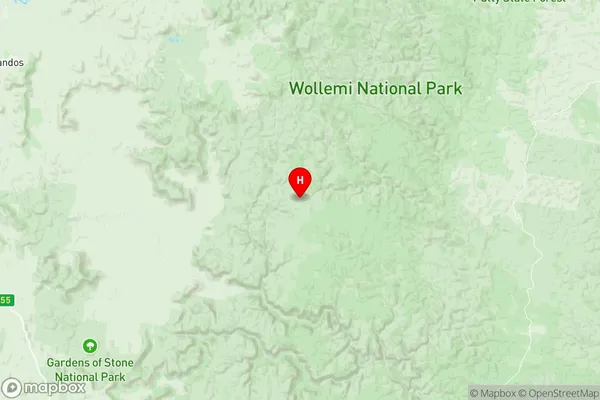
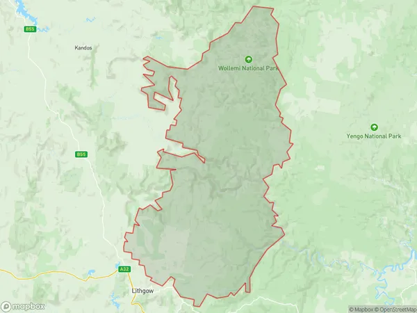
Wollangambe Wollemi Suburbs & Region, Wollangambe Wollemi Map & Postcodes
Wollangambe Wollemi Suburbs & Region, Wollangambe Wollemi Map & Postcodes in Wollangambe Wollemi, Lithgow Mudgee, Central West, NSW, AU
Wollangambe Wollemi Region
Region Name
Wollangambe Wollemi (NSW, AU)Wollangambe Wollemi Area
2449 square kilometers (2,449 ㎢)Postal Codes
2330, 2790, 2845, and 2849 (In total, there are 4 postcodes in Wollangambe Wollemi.)Wollangambe Wollemi Introduction
Wollangambe Wollemi is a critically endangered tree that only grows in a small area of the Central West region of New South Wales, Australia. It is a member of the myrtle family and is known for its beautiful, drooping leaves and stunning floral displays. The tree is highly valued by indigenous cultures for its medicinal properties and is threatened by habitat loss, climate change, and illegal logging. Conservation efforts are underway to protect and propagate this rare and unique tree.Australia State
City or Big Region
Greater Capital City
Rest of NSW (1RNSW)District or Regional Area
Suburb Name
Wollangambe Wollemi Region Map

Wollangambe Wollemi Postcodes / Zip Codes
Wollangambe Wollemi Suburbs
Wollangambe Wollemi full address
Wollangambe Wollemi, Lithgow Mudgee, Central West, New South Wales, NSW, Australia, SaCode: 103031075Country
Wollangambe Wollemi, Lithgow Mudgee, Central West, New South Wales, NSW, Australia, SaCode: 103031075
Wollangambe Wollemi Suburbs & Region, Wollangambe Wollemi Map & Postcodes has 0 areas or regions above, and there are 5 Wollangambe Wollemi suburbs below. The sa2code for the Wollangambe Wollemi region is 103031075. Its latitude and longitude coordinates are -33.0174,150.377. Wollangambe Wollemi area belongs to Australia's greater capital city Rest of NSW.
Wollangambe Wollemi Suburbs & Localities
1. Wollemi
2. Wollangambe
3. Wirraba
4. Newnes Plateau
5. Angus Place
