Oaky Park Area, Oaky Park Postcode(2790) & Map in Oaky Park, Central West, NSW
Oaky Park Area, Oaky Park Postcode(2790) & Map in Oaky Park, Central West, NSW, AU, Postcode: 2790
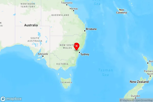
Oaky Park, Lithgow, Lithgow - Mudgee, Central West, New South Wales, Australia, 2790
Oaky Park Postcode
Area Name
Oaky ParkOaky Park Suburb Area Map (Polygon)

Oaky Park Introduction
Oaky Park is a small town in Central West, NSW, Australia, known for its oak trees and scenic surroundings. It is a popular destination for tourists and locals alike, offering a range of activities such as hiking, fishing, and camping.State Name
City or Big Region
District or Regional Area
Suburb Name
Oaky Park Region Map
Country
Main Region in AU
R3Coordinates
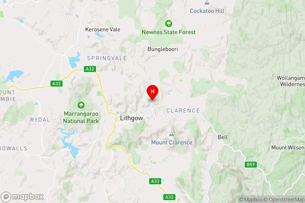
-33.4630389,150.1850264 (latitude/longitude)Oaky Park Area Map (Street)
Longitude
150.178208Latitude
-33.471048Oaky Park Elevation
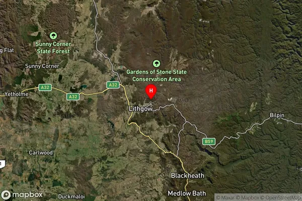
about 931.14 meters height above sea level (Altitude)Oaky Park Suburb Map (Satellite)
Distances
The distance from Oaky Park, Central West, NSW to AU Greater Capital CitiesSA1 Code 2011
10303107013SA1 Code 2016
10303107013SA2 Code
103031070SA3 Code
10303SA4 Code
103RA 2011
2RA 2016
2MMM 2015
4MMM 2019
4Charge Zone
N2LGA Region
LithgowLGA Code
14870Electorate
Calare