State Mine Gully Area, State Mine Gully Postcode(2790) & Map in State Mine Gully, Central West, NSW
State Mine Gully Area, State Mine Gully Postcode(2790) & Map in State Mine Gully, Central West, NSW, AU, Postcode: 2790
State Mine Gully, Lithgow, Lithgow - Mudgee, Central West, New South Wales, Australia, 2790
State Mine Gully Postcode
Area Name
State Mine GullyState Mine Gully Suburb Area Map (Polygon)

State Name
City or Big Region
District or Regional Area
Suburb Name
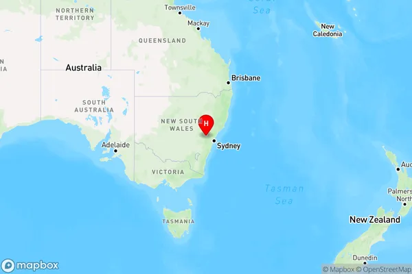
State Mine Gully Region Map
Country
Main Region in AU
R3Coordinates
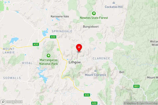
-33.4604604,150.1679655 (latitude/longitude)State Mine Gully Area Map (Street)
Longitude
150.2051736Latitude
-33.44813394State Mine Gully Elevation
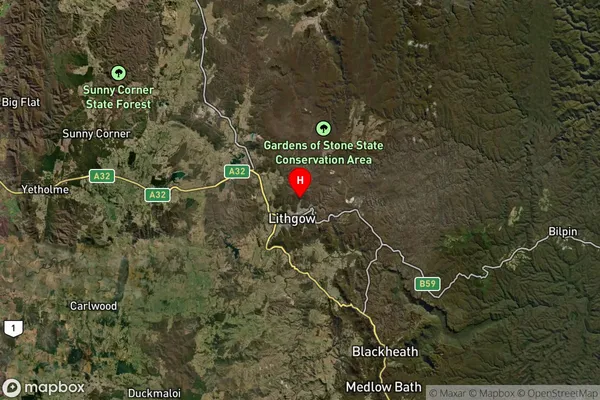
about 1068.46 meters height above sea level (Altitude)State Mine Gully Suburb Map (Satellite)
Distances
The distance from State Mine Gully, Central West, NSW to AU Greater Capital CitiesSA1 Code 2011
10303107015SA1 Code 2016
10303107015SA2 Code
103031070SA3 Code
10303SA4 Code
103RA 2011
2RA 2016
2MMM 2015
4MMM 2019
4Charge Zone
N2LGA Region
LithgowLGA Code
14870Electorate
Calare