Gosford Suburbs & Region, Gosford Map & Postcodes
Gosford Suburbs & Region, Gosford Map & Postcodes in Gosford, Central Coast, NSW, AU
Gosford Region
Region Name
Gosford (NSW, AU)Gosford Area
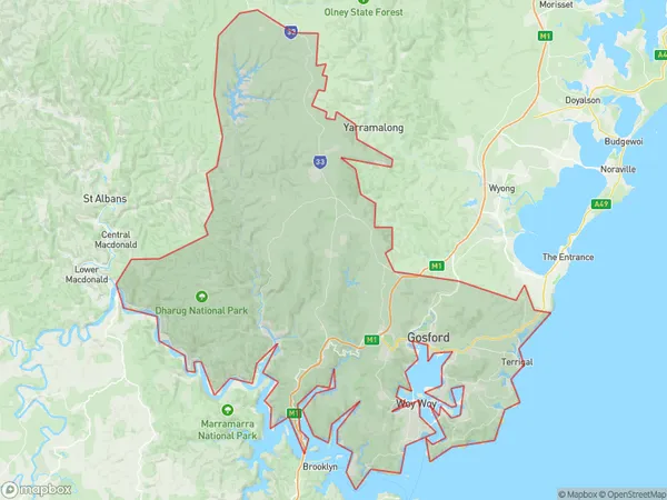
988.39 square kilometers (988.39 ㎢)Gosford Suburb Area Map (Polygon)
Gosford Introduction
Gosford is a city on the Central Coast of New South Wales, Australia, and is located approximately 90 kilometers (56 mi) north of Sydney. It is the administrative center of the Gosford City Council and is part of the Greater Sydney region. Gosford is known for its historic buildings, including the Gosford Courthouse, which is one of the oldest courthouses in Australia. The city has a population of around 39,000 people and is home to a number of parks, including the Gosford Regional Park and the Central Coast Botanic Garden. Gosford also has a number of shopping centers, including the Gosford Plaza and the Westfield Miranda. The city is surrounded by beautiful beaches, including Terrigal Beach and Avoca Beach, and is a popular destination for tourists and locals alike.Australia State
City or Big Region
District or Regional Area
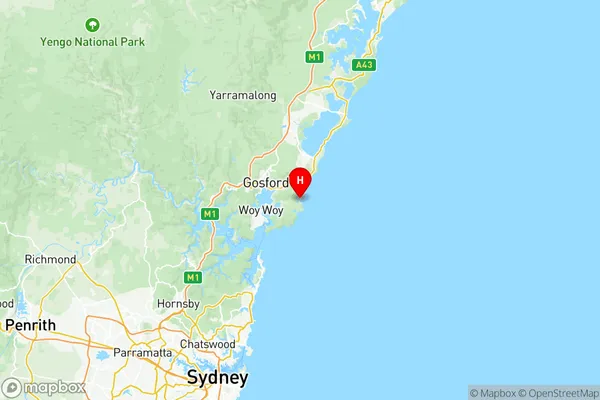
Gosford Region Map
Gosford Suburbs
Avoca Beach Copacabana
Box Head MacMasters Beach
Kincumber Picketts Valley
Point Clare Koolewong
Saratoga Davistown
Umina Booker Bay Patonga
Woy Woy Blackwall
Gosford full address
Gosford, Central Coast, New South Wales, NSW, Australia, SaCode: 10201Country
Gosford, Central Coast, New South Wales, NSW, Australia, SaCode: 10201
Gosford Suburbs & Region, Gosford Map & Postcodes has 8 areas or regions above, and there are 0 Gosford suburbs below. The sa3code for the Gosford region is 10201. Its latitude and longitude coordinates are -33.465,151.435.