Central Coast Suburbs & Region, Central Coast Map & Postcodes
Central Coast Suburbs & Region, Central Coast Map & Postcodes in Central Coast, NSW, AU
Central Coast Region
Region Name
Central Coast (NSW, AU)Central Coast Area
1681 square kilometers (1,681 ㎢)Postal Codes
2251, from 2256 to 2258, and from 2260 to 2263 (In total, there are 8 postcodes in Central Coast.)Central Coast Introduction
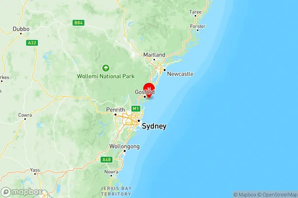
The Central Coast is a region on the east coast of Australia, located approximately 125 kilometers (78 mi) north of Sydney and 55 kilometers (34 mi) south of Newcastle. It is known for its stunning natural beauty, including pristine beaches, lush forests, and towering mountain ranges. The region is home to a diverse range of wildlife, including kangaroos, wallabies, and koalas, and is a popular destination for outdoor enthusiasts, including hikers, surfers, and fishermen. The Central Coast has a rich cultural heritage, with many historic towns and villages, including Gosford, Wyong, and Erina. It is also home to a number of universities and colleges, including the University of Newcastle and the Central Coast Institute of Technology.Australia State
City or Big Region
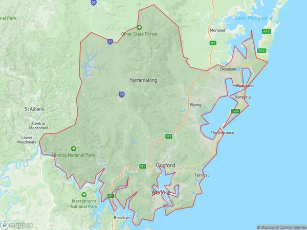
Central Coast Region Map

Central Coast Postcodes / Zip Codes
Central Coast Suburbs
Central Coast full address
Central Coast, New South Wales, NSW, Australia, SaCode: 102Country
Central Coast, New South Wales, NSW, Australia, SaCode: 102
Central Coast Suburbs & Region, Central Coast Map & Postcodes has 2 areas or regions above, and there are 75 Central Coast suburbs below. The sa4code for the Central Coast region is 102. Its latitude and longitude coordinates are -33.465,151.435.
Central Coast Suburbs & Localities
1. Copacabana
2. Daleys Point
3. Wondabyne
4. Erina Heights
5. Killarney Vale
6. Blue Haven
7. Gorokan
8. Ourimbah
